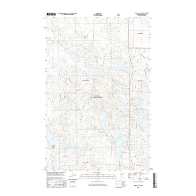
2016 Map of Spring Lake
USGS Topo · Published 2016About this map
Chippewa National Forest dominates this landscape in northern Minnesota, where a complex network of glacial lakes and managed waterways defines the terrain. The settlement of Spring Lake sits in the southwestern portion of the sheet, connected to the surrounding woods by Co Hwy 4 and Forest Rd 3222. The hydrology of the area is particularly distinct, featuring numerous impoundments such as the East Lake Impoundment, Border Impoundment, and Crooked Lake Impoundment, which suggest active water management within the forest boundaries.
Find a feature on this map
67 named features on this map. Tap any name to fly to it.
Don’t see what you’re looking for? This feature index may not catch every label — zoom into the map to look around manually.
Map Details
Editions of this 2016 Spring Lake Map
This is the sole edition of this map. No revisions or reprints were ever made.
Other maps of this area

1918 · Zora
USGS Topo · 1:62,500

1919 · Zora
USGS Topo · 1:62,500

1919 · Marcell
USGS Topo · 1:62,500

1954 · Hibbing
USGS Topo · 1:250,000

1957 · Hibbing
USGS Topo · 1:250,000

1958 · Hibbing
USGS Topo · 1:250,000

1964 · Hibbing
USGS Topo · 1:250,000

1970 · Bowstring Lake
USGS Topo · 1:24,000

1970 · Jessie Lake
USGS Topo · 1:24,000
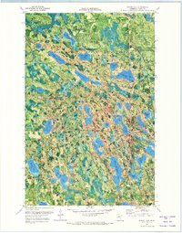
1970 · Spring Lake
USGS Topo · 1:24,000