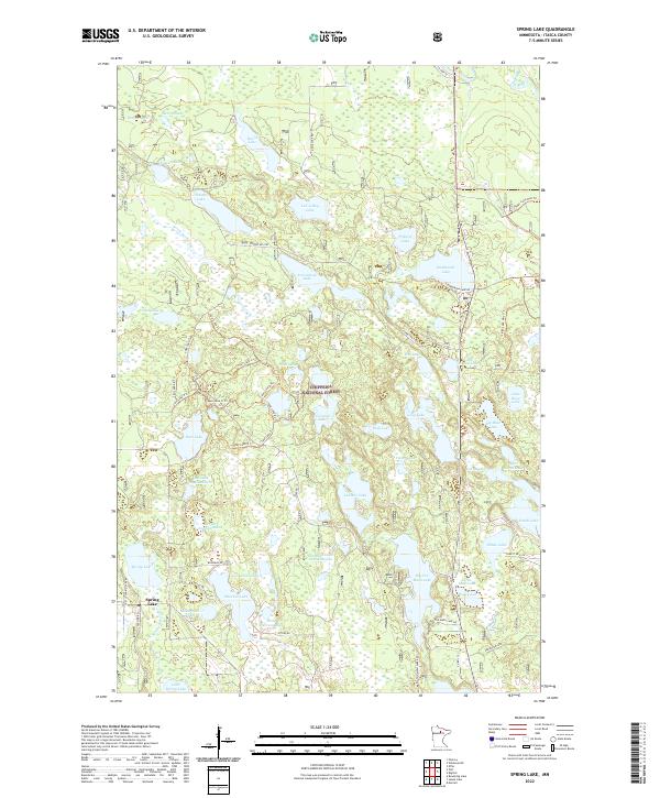
2022 Map of Spring Lake
USGS Topo · Published 2022About this map
Chippewa National Forest defines the character of this northern Minnesota landscape, where an intricate network of glacial lakes and wetlands is connected by a web of forest service roads and specialized trails. The small settlement of Spring Lake anchors the southwestern corner, while the surrounding terrain is dominated by water bodies ranging from the expansive Big Too Much Lake to the secluded Lac-a-Roy Lake.
Find a feature on this map
75 named features on this map. Tap any name to fly to it.
Don’t see what you’re looking for? This feature index may not catch every label — zoom into the map to look around manually.
Map Details
Editions of this 2022 Spring Lake Map
This is the sole edition of this map. No revisions or reprints were ever made.
Other maps of this area

1918 · Zora
USGS Topo · 1:62,500

1919 · Zora
USGS Topo · 1:62,500

1919 · Marcell
USGS Topo · 1:62,500

1954 · Hibbing
USGS Topo · 1:250,000

1957 · Hibbing
USGS Topo · 1:250,000

1958 · Hibbing
USGS Topo · 1:250,000

1964 · Hibbing
USGS Topo · 1:250,000

1970 · Bowstring Lake
USGS Topo · 1:24,000

1970 · Jessie Lake
USGS Topo · 1:24,000
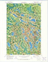
1970 · Spring Lake
USGS Topo · 1:24,000