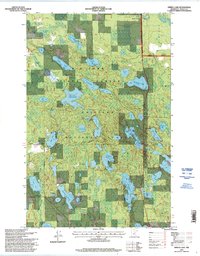
1996 Map of Spring Lake
USGS Topo · Published 1998About this map
Big Fork State Forest and the Chippewa National Forest converge in this northern Minnesota landscape, creating a complex patchwork of managed timberlands and glacial water bodies. The terrain is defined by an intricate network of lakes and man-made water controls, including the Spur Lake Impoundment, Crooked Lake Impoundment, and Border Impoundment. These features reflect the mid-to-late 20th-century focus on wetland management and conservation within the forest boundaries.
Find a feature on this map
49 named features on this map. Tap any name to fly to it.
Don’t see what you’re looking for? This feature index may not catch every label — zoom into the map to look around manually.
Map Details
Editions of this 1996 Spring Lake Map
This is the sole edition of this map. No revisions or reprints were ever made.
Other maps of this area

1918 · Zora
USGS Topo · 1:62,500

1919 · Zora
USGS Topo · 1:62,500

1919 · Marcell
USGS Topo · 1:62,500

1954 · Hibbing
USGS Topo · 1:250,000

1957 · Hibbing
USGS Topo · 1:250,000

1958 · Hibbing
USGS Topo · 1:250,000

1964 · Hibbing
USGS Topo · 1:250,000

1970 · Bowstring Lake
USGS Topo · 1:24,000

1970 · Jessie Lake
USGS Topo · 1:24,000
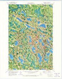
1970 · Spring Lake
USGS Topo · 1:24,000