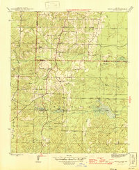
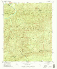
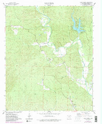
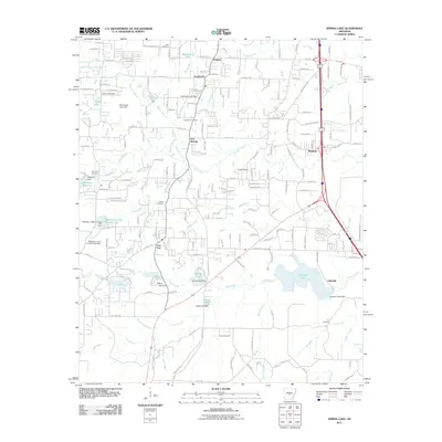
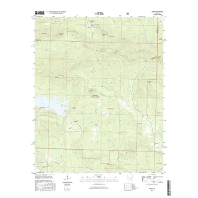
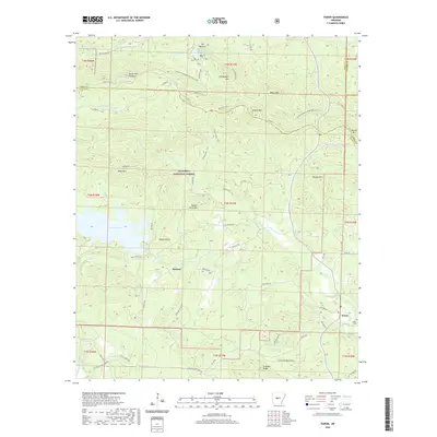
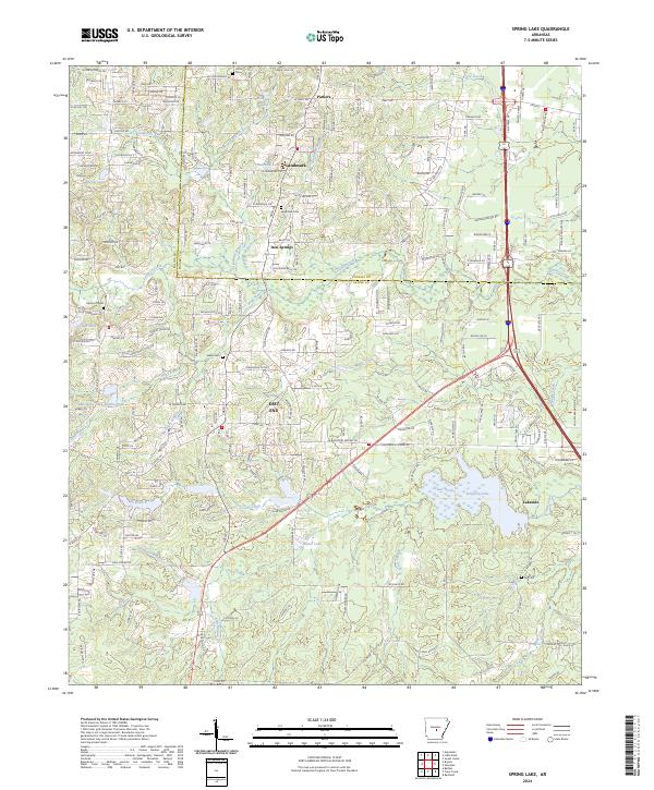
1954 Map of Spring Lake
USGS Topo · Published 1976About this map
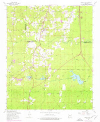
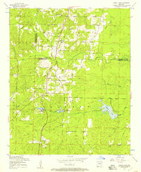
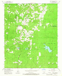
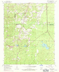
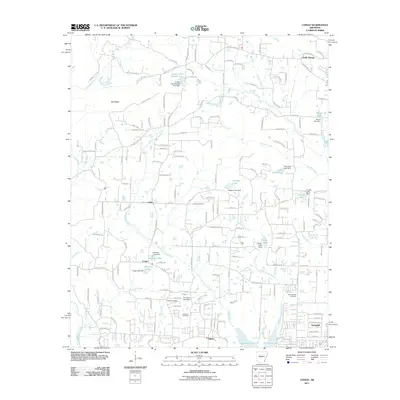
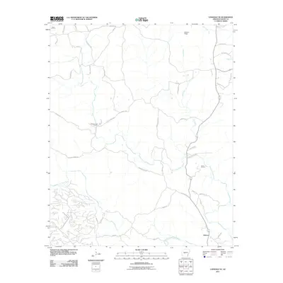
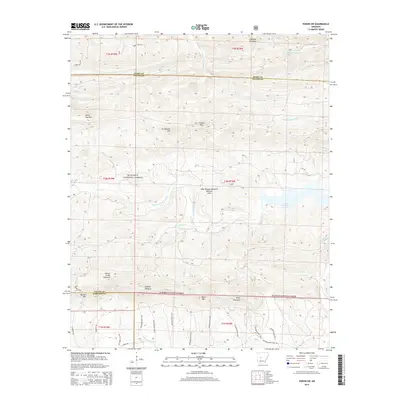
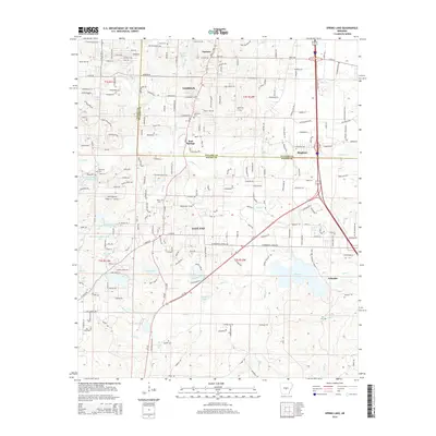
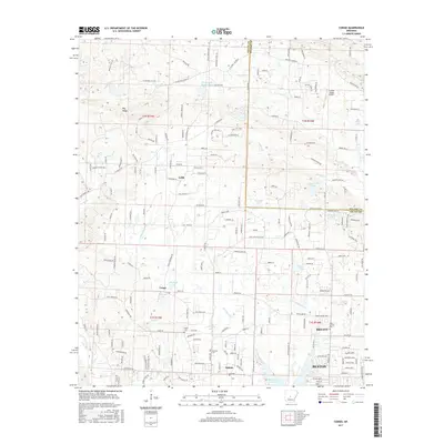
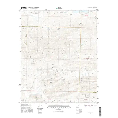
East End and the surrounding rural communities of Saline and Pulaski Counties are captured here during a period of steady mid-century growth. The landscape is defined by its transition from agricultural townships like Banner and Otter to more structured residential developments, highlighted by the purple revision markings from the 1970s. Key social and spiritual centers include Landmark Church, Olive Hill Church, and the Carmelite Novitiate located near Mary Lake.
Find a feature on this map
45 named features on this map. Tap any name to fly to it.
Don’t see what you’re looking for? This feature index may not catch every label — zoom into the map to look around manually.
Map Details
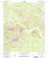
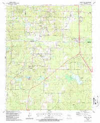
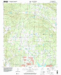
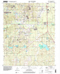
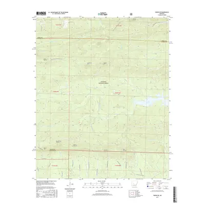
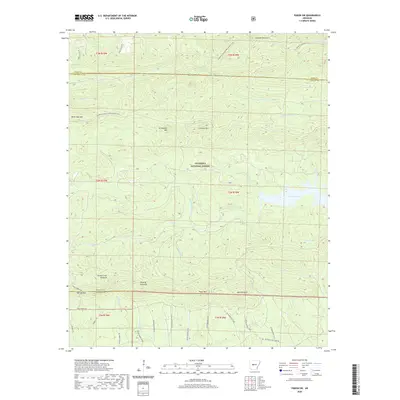
Editions of this 1954 Spring Lake Map
4 editions found
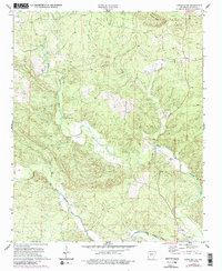
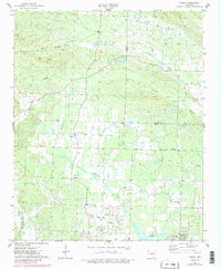
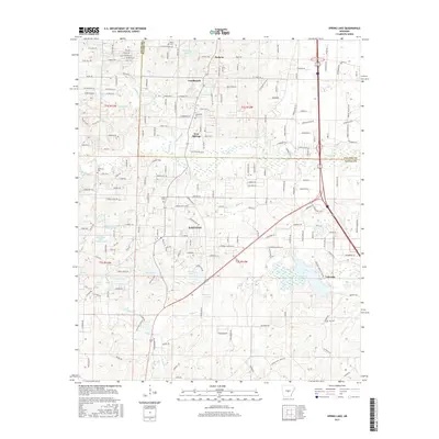
Historical Maps of Lakeside Through Time
58 maps found
1944 Spring Lake
Saline County, AR
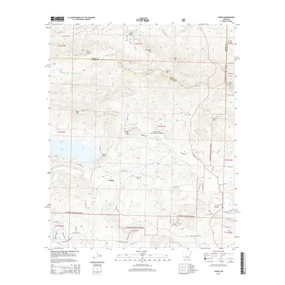
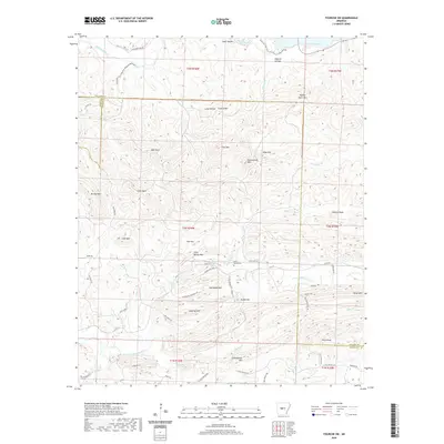
1954 Spring Lake
Saline County, AR
1963 Fourche SW
Saline County, AR
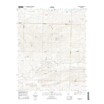
1963 Paron
Saline County, AR
1963 Paron SW
Saline County, AR
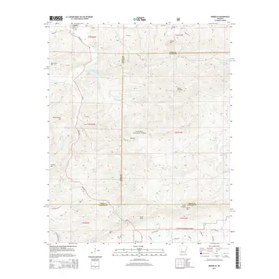
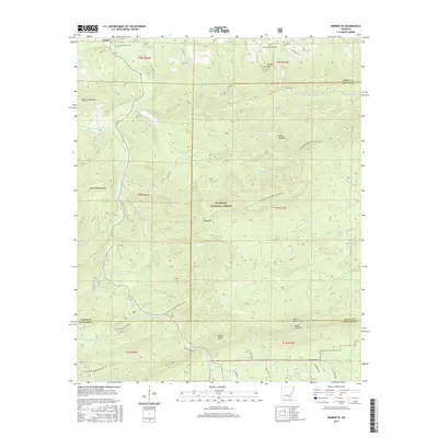
1968 Nimrod SE
Saline County, AR
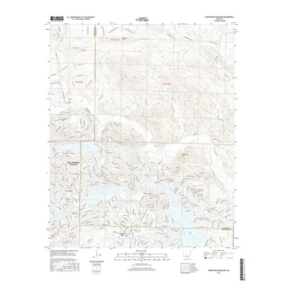
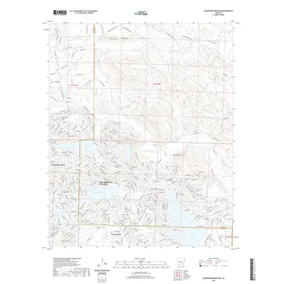
1972 Goosepond Mountain
Saline County, AR
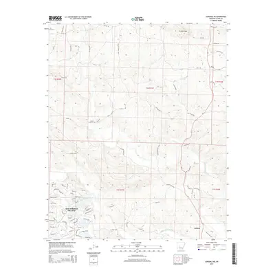
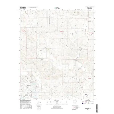
1972 Lonsdale NE
Saline County, AR
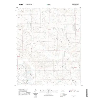
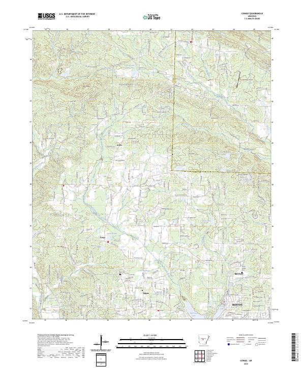
1974 Congo
Saline County, AR
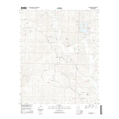
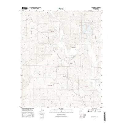
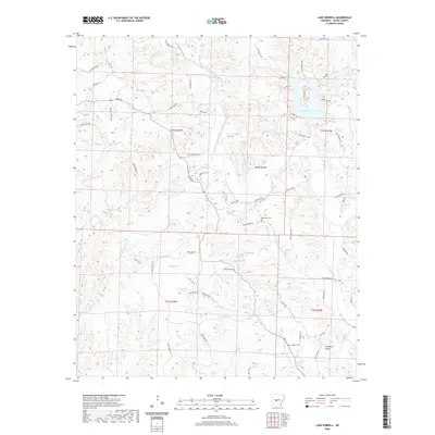
1974 Lake Norrell
Saline County, AR
1987 Spring Lake
Saline County, AR
1994 Congo
Saline County, AR
1994 Spring Lake
Saline County, AR
2011 Congo
Saline County, AR
2011 Fourche SW
Saline County, AR
2011 Goosepond Mountain
Saline County, AR
2011 Lake Norrell
Saline County, AR
2011 Lonsdale NE
Saline County, AR
2011 Nimrod SE
Saline County, AR
2011 Paron
Saline County, AR
2011 Paron SW
Saline County, AR
2011 Spring Lake
Saline County, AR
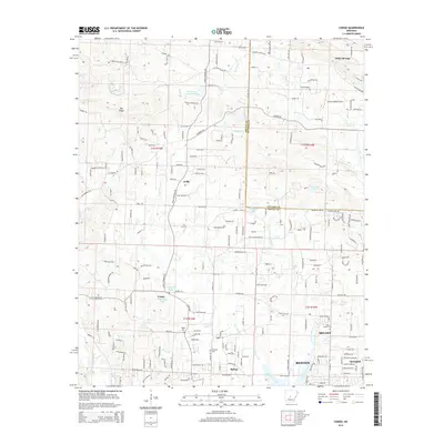
2014 Congo
Saline County, AR
2014 Fourche SW
Saline County, AR
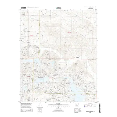
2014 Goosepond Mountain
Saline County, AR
2014 Lake Norrell
Saline County, AR
2014 Lonsdale NE
Saline County, AR
2014 Nimrod SE
Saline County, AR
2014 Paron
Saline County, AR
2014 Paron SW
Saline County, AR
2014 Spring Lake
Saline County, AR
2017 Congo
Saline County, AR
2017 Fourche SW
Saline County, AR
2017 Goosepond Mountain
Saline County, AR
2017 Lake Norrell
Saline County, AR
2017 Lonsdale NE
Saline County, AR
2017 Nimrod SE
Saline County, AR
2017 Paron
Saline County, AR
2017 Paron SW
Saline County, AR
2017 Spring Lake
Saline County, AR
2020 Congo
Saline County, AR
2020 Fourche SW
Saline County, AR
2020 Goosepond Mountain
Saline County, AR
2020 Lake Norrell
Saline County, AR
2020 Lonsdale NE
Saline County, AR

2020 Nimrod SE
Saline County, AR
2020 Paron
Saline County, AR
2020 Paron SW
Saline County, AR
2020 Spring Lake
Saline County, AR
2024 Congo
Saline County, AR
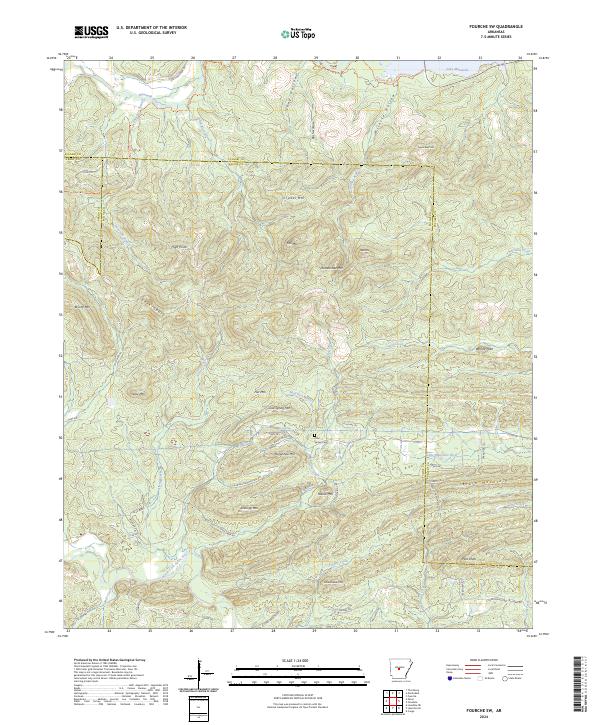
2024 Fourche SW
Saline County, AR
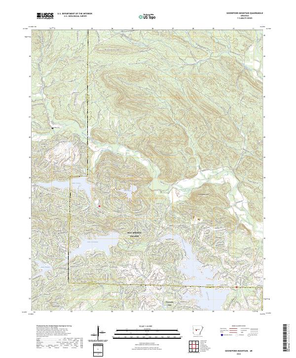
2024 Goosepond Mountain
Saline County, AR
2024 Lake Norrell
Saline County, AR
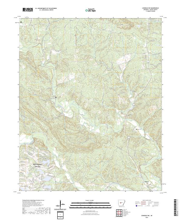
2024 Lonsdale NE
Saline County, AR
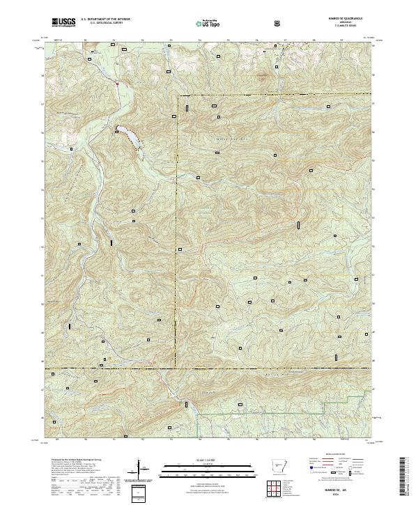
2024 Nimrod SE
Saline County, AR
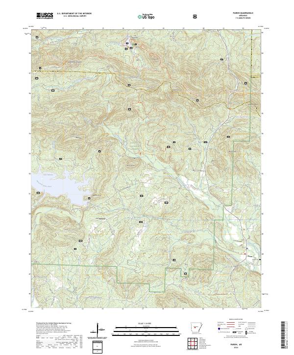
2024 Paron
Saline County, AR
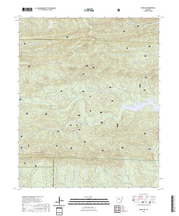
2024 Paron SW
Saline County, AR
2024 Spring Lake
Saline County, AR