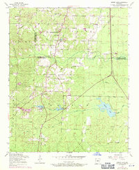
1954 Map of Spring Lake
USGS Topo · Published 1971About this map
Landmark School and the nearby Landmark Church anchor a landscape defined by the winding border between Saline and Pulaski counties during the mid-20th century. This area, largely comprised of the Otter, Banner, and Hurricane townships, shows a rural community transitioning as road networks like the Woodson Lateral developed. The map records several spiritual and social hubs, from the Carmelite Novitiate near Mary Lake to the Spring Lake Club on the shores of Spring Lake. Genealogy researchers will find significant detail in the various burial grounds and small settlements, including Salem Cemetery and the crossroads at East End. The terrain is etched with numerous watercourses such as Lorance Creek and Maple Creek, illustrating the natural drainage patterns that shaped local settlement before significant suburban expansion reached this part of Arkansas.
Find a feature on this map
37 named features on this map. Tap any name to fly to it.
Don’t see what you’re looking for? This feature index may not catch every label — zoom into the map to look around manually.
Map Details
Editions of this 1954 Spring Lake Map
4 editions found
Other maps of this area

1891 · Little Rock
USGS Topo · 1:125,000

1893 · Little Rock
USGS Topo · 1:125,000

1932 · Pastoria
USGS Topo · 1:62,500

1935 · Little Rock
USGS Topo · 1:24,000

1935 · Sweet Home
USGS Topo · 1:24,000

1935 · Alexander
USGS Topo · 1:48,000

1935 · Pastoria
USGS Topo · 1:62,500

1940 · Woodson
USGS Topo · 1:31,680

1941 · Alexander
USGS Topo · 1:62,500

1944 · Alexander
USGS Topo · 1:31,680