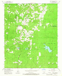
1954 Map of Spring Lake
USGS Topo · Published 1966About this map
The rolling timberland of the Saline and Pulaski county line is characterized by a network of rural homesteads and scattered religious institutions in the mid-1950s. The settlement at East End serves as a local focal point, while the Landmark School and nearby Landmark Church suggest a well-established community center north of the county boundary. Further south, the landscape is defined by the headwaters of numerous creeks including Clear Creek and Duck Creek, which feed into local water bodies like Mary Lake and Ferguson Lake. A distinctive social landmark, the Spring Lake Club, sits near Spring Lake, reflecting the recreational use of these upland water sources. The presence of the Carmelite Novitiate and several small burial grounds such as Salem Cemetery and Jay Cemetery provides a detailed view of the spiritual and familial layout of the area before modern suburban expansion transformed this section of central Arkansas.
Find a feature on this map
43 named features on this map. Tap any name to fly to it.
Don’t see what you’re looking for? This feature index may not catch every label — zoom into the map to look around manually.
Map Details
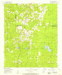
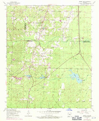
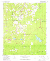
Editions of this 1954 Spring Lake Map
4 editions found
Other maps of this area

1891 · Little Rock
USGS Topo · 1:125,000

1893 · Little Rock
USGS Topo · 1:125,000

1932 · Pastoria
USGS Topo · 1:62,500

1935 · Little Rock
USGS Topo · 1:24,000

1935 · Sweet Home
USGS Topo · 1:24,000

1935 · Alexander
USGS Topo · 1:48,000

1935 · Pastoria
USGS Topo · 1:62,500

1940 · Woodson
USGS Topo · 1:31,680

1941 · Alexander
USGS Topo · 1:62,500

1944 · Alexander
USGS Topo · 1:31,680