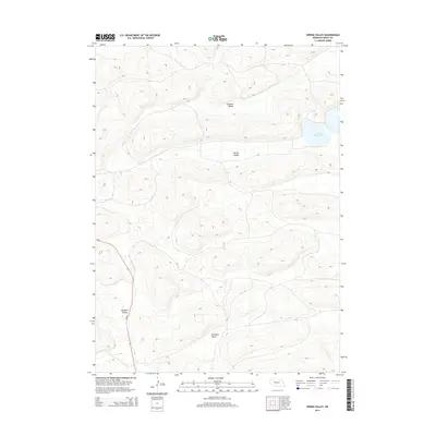
2014 Map of Spring Valley
USGS Topo · Published 2014About this map
Spring Valley Lake sits as a prominent landmark within the undulating terrain of Grant County, where the Sandhills landscape is defined by a series of distinct valleys. This 2014 survey documents the geographic character of the region, anchored by named depressions such as Handlin Valley to the north and the expansive Spring Valley at its center. The presence of Brooking Valley and Rothwell Valley suggests a history of land use tied to these specific topographical catchments, where water and shelter are traditionally sought. Connectivity through this sparse environment is maintained by Ne-61, which cuts a north-south path across the western portion of the quadrangle. The map reveals a land predominantly shaped by natural contours, with very limited human infrastructure beyond the primary highway and scattered section lines.
Find a feature on this map
6 named features on this map. Tap any name to fly to it.
Don’t see what you’re looking for? This feature index may not catch every label — zoom into the map to look around manually.
Map Details
Editions of this 2014 Spring Valley Map
This is the sole edition of this map. No revisions or reprints were ever made.
Other maps of this area
1948 · George Lake
USGS Topo · 1:62,500
1948 · Spring Valley
USGS Topo · 1:62,500
1949 · Arthur
USGS Topo · 1:62,500
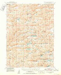
1950 · Spring Valley
USGS Topo · 1:62,500
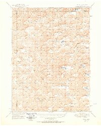
1950 · Velma
USGS Topo · 1:62,500
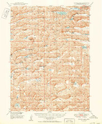
1950 · George Lake
USGS Topo · 1:62,500
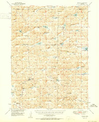
1950 · Arthur
USGS Topo · 1:62,500

1954 · North Platte
USGS Topo · 1:250,000

1956 · North Platte
USGS Topo · 1:250,000

1957 · North Platte
USGS Topo · 1:250,000