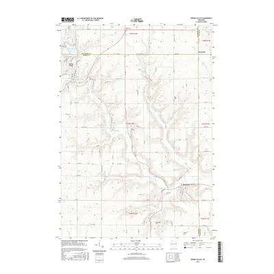
2015 Map of Spring Valley
USGS Topo · Published 2015About this map
The Eau Galle River corridor defines the landscape of western Wisconsin along the borders of Pierce, Saint Croix, and Dunn Counties. In this mid-2010s survey, the village of Spring Valley sits at the northern end of the map, adjacent to the prominent Spring Valley Lake. This area was historically shaped by mining activities, a legacy suggested by Mines Cr flowing into the valley. Further south, the village of Elmwood serves as a local hub near the confluence of Cady Cr and the river. The surrounding rural landscape is dotted with generational landmarks essential for family history research, including Saint Michael Cem in the north and Spring Lake Cem near the river's bend. Significant natural features like Hammond Hill and Tuttle Hill rise above the agricultural grid, while Franklin Spring and Porter Spring provide perennial water sources in the southern reaches of the quadrangle.
Find a feature on this map
85 named features on this map. Tap any name to fly to it.
Don’t see what you’re looking for? This feature index may not catch every label — zoom into the map to look around manually.
Map Details
Editions of this 2015 Spring Valley Map
This is the sole edition of this map. No revisions or reprints were ever made.
Other maps of this area

1935 · Arkansaw
USGS Topo · 1:48,000

1940 · Maiden Rock
USGS Topo · 1:62,500

1941 · Arkansaw
USGS Topo · 1:62,500

1942 · Arkansaw
USGS Topo · 1:62,500

1946 · Knapp
USGS Topo · 1:62,500

1949 · Knapp
USGS Topo · 1:62,500

1949 · Baldwin
USGS Topo · 1:62,500

1950 · Maiden Rock
USGS Topo · 1:62,500

1953 · Saint Paul
USGS Topo · 1:250,000

1959 · Saint Paul
USGS Topo · 1:250,000