2022 Map of Spring Valley
USGS Topo · Published 2022About this map
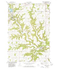
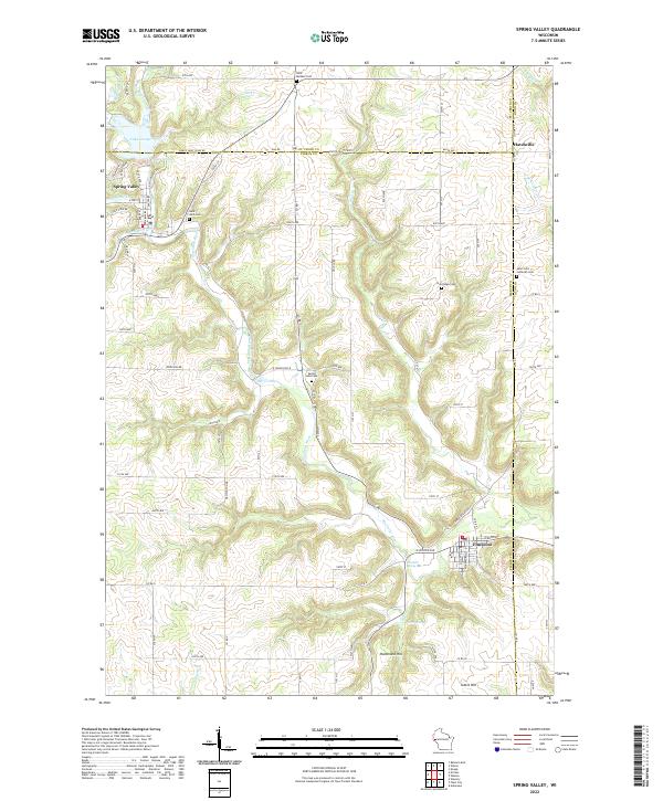
Spring Valley and Elmwood anchor this survey of the northern Eau Galle River basin. The landscape is defined by the tight valley of the river and its numerous tributaries, including Lousy Cr, Burkhardt Cr, and Cady Cr. In the northwest, Lake George sits adjacent to the village of Spring Valley, where the presence of Mines indicates the local industrial activity. The area is marked by a high density of rural religious and communal sites, with Saint Michael Cem, Saint John Cem, Spring Lake Cem, and Oak Ridge Cem scattered across the uplands.
Find a feature on this map
83 named features on this map. Tap any name to fly to it.
Don’t see what you’re looking for? This feature index may not catch every label — zoom into the map to look around manually.
Map Details
Editions of this 2022 Spring Valley Map
This is the sole edition of this map. No revisions or reprints were ever made.