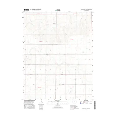
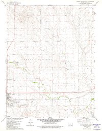
2015 Map of Spring Valley Ranch
USGS Topo · Published 2015About this map
Spring Valley Ranch sits at the heart of this high plains landscape, where Wallace County’s section lines define the movement of water and travelers alike. The terrain is characterized by broad plateaus like South Flats, carved by the seasonal drainage of Eagle Tail Cr and the intermittent headwaters of Rose Cr. This 2015 survey reveals a strictly organized rural grid, where the expansive grazing lands are connected by a network of descriptive local routes including Jackrabbit Rd, Ironhorse Rd, and Killdeer Rd. The map illustrates the persistence of large-scale ranching operations and the vital role of riparian corridors like N Fork Rose Cr in an otherwise semi-arid environment. These township and range divisions show how the land in western Kansas remains defined by the original 19th-century survey lines, even into the modern era.
Find a feature on this map
28 named features on this map. Tap any name to fly to it.
Don’t see what you’re looking for? This feature index may not catch every label — zoom into the map to look around manually.
Map Details
Editions of this 2015 Spring Valley Ranch Map
This is the sole edition of this map. No revisions or reprints were ever made.
Other maps of this area

1955 · Scott City
USGS Topo · 1:250,000

1958 · Scott City
USGS Topo · 1:250,000
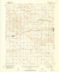
1959 · Weskan
USGS Topo · 1:62,500
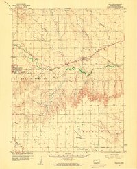
1959 · Wallace
USGS Topo · 1:62,500
1968 · Sharon Springs 3 NE
USGS Topo · 1:24,000
1968 · Sharon Springs 4 NW
USGS Topo · 1:24,000
1968 · Sharon Springs 3 NW
USGS Topo · 1:24,000
1979 · Sharon Springs West
USGS Topo · 1:24,000
1979 · Spring Valley Ranch
USGS Topo · 1:24,000
1979 · Sharon Springs East
USGS Topo · 1:24,000