
1968 Map of Sharon Springs 3 NE
USGS Topo · Published 1969About this map
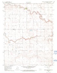
South Fork and the upper reaches of the Ladder Creek system define the High Plains landscape of this western Kansas territory during the late 1960s. The survey illustrates the stark, grid-aligned agricultural organization of the land, cutting across township lines in Wallace and Greeley Counties. While the terrain appears open, the map is punctuated by numerous Well locations, signaling the critical importance of groundwater for the various land divisions of Weskan, Sharon Springs, Colony, and Tribune.
Find a feature on this map
9 named features on this map. Tap any name to fly to it.
Don’t see what you’re looking for? This feature index may not catch every label — zoom into the map to look around manually.
Map Details
Editions of this 1968 Sharon Springs 3 NE Map
2 editions found
Other maps of this area

1955 · Scott City
USGS Topo · 1:250,000

1958 · Scott City
USGS Topo · 1:250,000

1959 · Weskan
USGS Topo · 1:62,500

1959 · Wallace
USGS Topo · 1:62,500

1968 · Sharon Springs 4 NW
USGS Topo · 1:24,000

1968 · Sharon Springs 3 NW
USGS Topo · 1:24,000

1970 · Sharon Springs 3 SE
USGS Topo · 1:24,000

1970 · Sharon Springs 4 SW
USGS Topo · 1:24,000
1970 · Sharon Springs 3 SW
USGS Topo · 1:24,000
1979 · Spring Valley Ranch
USGS Topo · 1:24,000
Featured Places
- Sharon Springs Township, KS
- Weskan Township, KS
- Tribune Township, KS
- Greeley County, KS
- Wallace County, KS