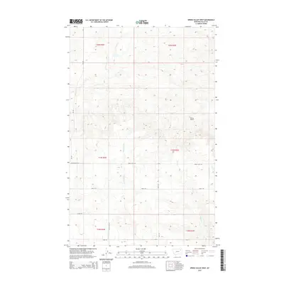
2014 Map of Spring Valley West
USGS Topo · Published 2014About this map
Spring Valley sits atop the high plains of Valley County, Montana, in a landscape defined by seasonal drainages and a strict rectangular grid of section roads. The geography here is dominated by the north-south flow of Tomato Can Cr and Spring Cr, which carve subtle valleys through the high prairie. The road network, including Grain School Rd and Grain E Rd, reveals a settlement pattern focused on agricultural access and rural education, reflecting the legacy of the homesteading era. State route MT-438 provides the primary transit corridor through the western portion of the quadrangle. This 2014 survey captures the persistence of small rural communities like Spring Valley and the enduring importance of named family and local landmarks, such as Schmitt Rd and Novak Rd, in the sparsely populated Montana interior.
Find a feature on this map
16 named features on this map. Tap any name to fly to it.
Don’t see what you’re looking for? This feature index may not catch every label — zoom into the map to look around manually.
Map Details
Editions of this 2014 Spring Valley West Map
This is the sole edition of this map. No revisions or reprints were ever made.
Other maps of this area
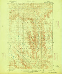
1915 · Spring Creek
USGS Topo · 1:62,500
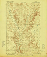
1918 · Porcupine Valley
USGS Topo · 1:62,500

1954 · Glasgow
USGS Topo · 1:250,000

1957 · Glasgow
USGS Topo · 1:250,000

1958 · Glasgow
USGS Topo · 1:250,000
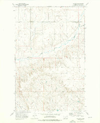
1973 · Baylor SE
USGS Topo · 1:24,000
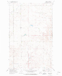
1973 · Larslan
USGS Topo · 1:24,000
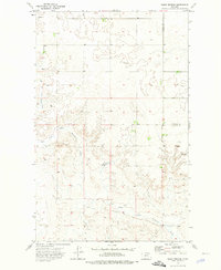
1973 · Blink Springs
USGS Topo · 1:24,000
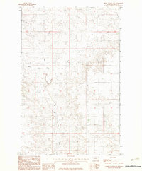
1983 · Spring Valley East
USGS Topo · 1:24,000
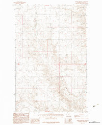
1983 · Spring Creek SW
USGS Topo · 1:24,000