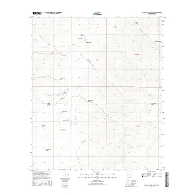
2014 Map of Spring Water Canyon
USGS Topo · Published 2014About this map
Cienega Cr winds through this Pima County landscape, serving as a primary drainage for a network of complex canyons and washes in the Santa Rita Mountains vicinity. The terrain is defined by deep incisions like Spring Water Canyon and Greaterville Gulch, which indicate the historical importance of water management in this arid region. The presence of features such as Oil Well Tank and Oil Well Canyon points toward historical industrial exploration, while numerous tanks like Boulder Tank and Wind Tank reflect the essential infrastructure for ranching and livestock that has long shaped the land use here.
Find a feature on this map
32 named features on this map. Tap any name to fly to it.
Don’t see what you’re looking for? This feature index may not catch every label — zoom into the map to look around manually.
Map Details
Editions of this 2014 Spring Water Canyon Map
This is the sole edition of this map. No revisions or reprints were ever made.
Other maps of this area
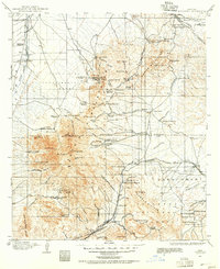
1904 · Patagonia
USGS Topo · 1:125,000
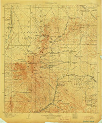
1905 · Patagonia
USGS Topo · 1:125,000
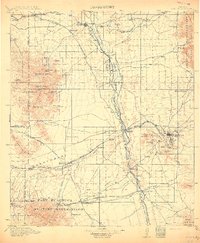
1915 · Benson
USGS Topo · 1:125,000
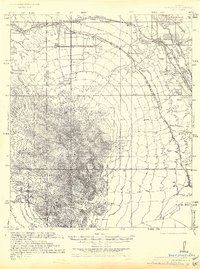
1926 · Whetstone
USGS Topo · 1:62,500
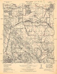
1932 · Elgin
USGS Topo · 1:62,500
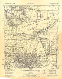
1938 · Huachuca
USGS Topo · 1:62,500
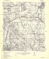
1940 · Elgin
USGS Topo · 1:62,500
1943 · Benson
USGS Topo · 1:125,000
1947 · Elgin
USGS Topo · 1:62,500
1948 · Elgin
USGS Topo · 1:24,000