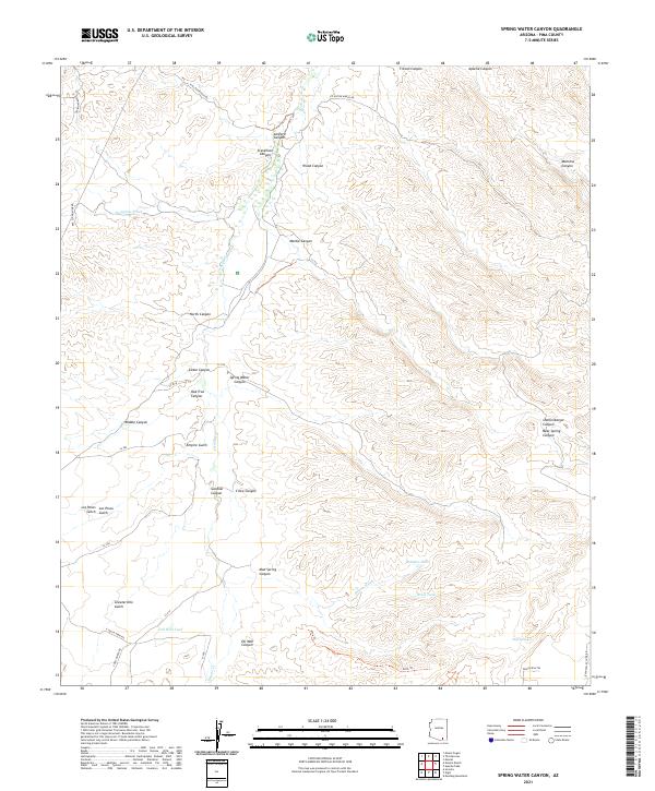
2021 Map of Spring Water Canyon
USGS Topo · Published 2021About this map
Cienega Cr and its various tributaries define this desert landscape, where water management is critical to the local infrastructure. The presence of Oil Well Tank in the southern reaches, near Oil Well Canyon, points to industrial exploration or ranching needs in a region where natural water sources like Mud Spring are scarce. The drainage patterns of Empire Gulch and Gardner Canyon converge toward the central creek, creating a network of seasonal washes that have historically dictated travel and land use.
Find a feature on this map
46 named features on this map. Tap any name to fly to it.
Don’t see what you’re looking for? This feature index may not catch every label — zoom into the map to look around manually.
Map Details
Editions of this 2021 Spring Water Canyon Map
This is the sole edition of this map. No revisions or reprints were ever made.
Other maps of this area

1904 · Patagonia
USGS Topo · 1:125,000

1905 · Patagonia
USGS Topo · 1:125,000

1915 · Benson
USGS Topo · 1:125,000

1926 · Whetstone
USGS Topo · 1:62,500

1932 · Elgin
USGS Topo · 1:62,500

1938 · Huachuca
USGS Topo · 1:62,500

1940 · Elgin
USGS Topo · 1:62,500

1943 · Benson
USGS Topo · 1:125,000

1947 · Elgin
USGS Topo · 1:62,500

1948 · Elgin
USGS Topo · 1:24,000