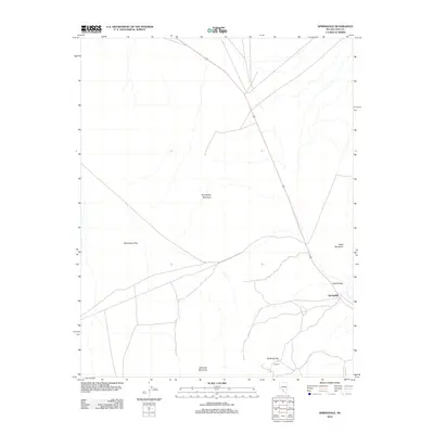
2012 Map of Springdale
USGS Topo · Published 2012About this map
Oasis Valley provides a critical geographic focus in this arid stretch of Nye County, where the settlement of Springdale serves as a lone outpost along the corridor of Highway 95. The landscape is defined by its stark relief, transitionally shifting from the broad expanse of Sarcobatus Flat into the clustered peaks of Springdale Mountain, Donovan Mountain, and Oasis Mountain.
Find a feature on this map
10 named features on this map. Tap any name to fly to it.
Don’t see what you’re looking for? This feature index may not catch every label — zoom into the map to look around manually.
Map Details
Editions of this 2012 Springdale Map
This is the sole edition of this map. No revisions or reprints were ever made.
Other maps of this area

1908 · Kawich
USGS Topo · 1:250,000

1908 · Furnace Creek
USGS Topo · 1:250,000

1910 · Furnace Creek
USGS Topo · 1:250,000

1942 · Tolicha Peak
USGS Topo · 1:125,000

1942 · Bullfrog
USGS Topo · 1:125,000

1948 · Death Valley
USGS Topo · 1:250,000

1954 · Bare Mtn
USGS Topo · 1:62,500

1954 · Bullfrog
USGS Topo · 1:62,500

1954 · Death Valley
USGS Topo · 1:250,000

1954 · Goldfield
USGS Topo · 1:250,000