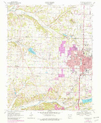
1970 Map of Springdale
USGS Topo · Published 1982About this map
Springdale serves as the focal point of this 1970s landscape, illustrating the suburban expansion and industrial footprint of the region just before the early 1980s. The map captures a transitional era where residential subdivisions and streets like Emma Ave and Davis Ave push into former agricultural land. The Burlington Northern railroad corridor anchors the eastern side of the city, supporting local industry near facilities such as the Armory and various quarries.
Find a feature on this map
62 named features on this map. Tap any name to fly to it.
Don’t see what you’re looking for? This feature index may not catch every label — zoom into the map to look around manually.
Map Details
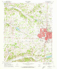
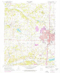
Editions of this 1970 Springdale Map
3 editions found
Other maps of this area

1899 · Fayetteville
USGS Topo · 1:125,000

1901 · Fayetteville
USGS Topo · 1:125,000

1904 · Fayetteville
USGS Topo · 1:125,000

1954 · Tulsa
USGS Topo · 1:250,000

1958 · Sonora
USGS Topo · 1:24,000

1958 · Rogers
USGS Topo · 1:24,000

1958 · Fayetteville
USGS Topo · 1:24,000

1958 · Elkins
USGS Topo · 1:24,000

1958 · Tulsa
USGS Topo · 1:250,000

1963 · Tulsa
USGS Topo · 1:250,000