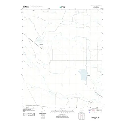
2010 Map of Springer Lake
USGS Topo · Published 2010About this map
The Cimarron River and Rayado Creek dominate the drainage patterns of this Colfax County landscape, where an extensive network of irrigation infrastructure supports the region's ranching economy. Significant water management features, such as the Highline Canal and Springer Ditch, weave across the terrain to feed reservoirs including Springer Lake and Number 3 Lake. These man-made improvements, anchored by the Springer Lake Dam and the Antelope Valley Number Three Dam, illustrate the critical importance of water rights and storage in the high plains of New Mexico.
Find a feature on this map
20 named features on this map. Tap any name to fly to it.
Don’t see what you’re looking for? This feature index may not catch every label — zoom into the map to look around manually.
Map Details
Editions of this 2010 Springer Lake Map
This is the sole edition of this map. No revisions or reprints were ever made.
Other maps of this area

1915 · Koehler
USGS Topo · 1:62,500

1917 · Koehler
USGS Topo · 1:62,500

1954 · Raton
USGS Topo · 1:250,000

1955 · Cimarron
USGS Topo · 1:62,500

1956 · Miami
USGS Topo · 1:62,500

1958 · Raton
USGS Topo · 1:250,000

1964 · Pinon Hills
USGS Topo · 1:24,000

1965 · French
USGS Topo · 1:24,000

1965 · Springer Lake
USGS Topo · 1:24,000

1965 · Springer
USGS Topo · 1:24,000