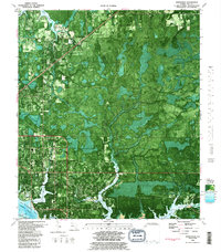
1982 Map of Springfield
USGS Topo · Published 1983About this map
St Andrew Bay and the complex inlet system of Callaway Bayou define this coastal landscape in the early 1980s. This orthophotomap provides a clear view of the growing residential footprints of Springfield, Hiland Park, and Cedar Grove as they expanded toward the waterfront. The transition from established neighborhoods to the dense wetlands of the Florida Panhandle is evident, with inland settlements like Brannonville and College Station positioned near the north-south transport corridors.
Find a feature on this map
43 named features on this map. Tap any name to fly to it.
Don’t see what you’re looking for? This feature index may not catch every label — zoom into the map to look around manually.
Map Details
Editions of this 1982 Springfield Map
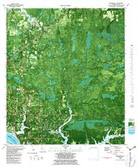
2 editions found
Other maps of this area

1943 · Beacon Beach
USGS Topo · 1:31,680

1943 · Panama City
USGS Topo · 1:31,680

1943 · Southport
USGS Topo · 1:24,000

1944 · Southport
USGS Topo · 1:24,000

1944 · Long Point
USGS Topo · 1:31,680

1944 · Bayhead
USGS Topo · 1:24,000

1945 · Youngstown
USGS Topo · 1:31,680

1945 · Bayhead
USGS Topo · 1:31,680

1945 · Allanton
USGS Topo · 1:31,680

1945 · North Of Allanton
USGS Topo · 1:31,680