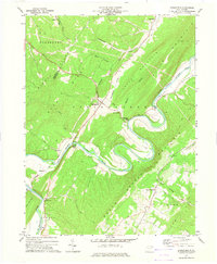
1973 Map of Springfield
USGS Topo · Published 1975About this map
Springfield serves as the central hub of this West Virginia landscape, where the Baltimore and Ohio railroad cuts a straight line across the valley floor. The South Branch Potomac River defines the geography, winding in dramatic, tight oxbows between Springfield Mountain and Frankfort Ridge. These deep river bends created secluded pockets of land for settlements like Millesons Mill and Grace, which are tucked against the steep valley walls.
Find a feature on this map
31 named features on this map. Tap any name to fly to it.
Don’t see what you’re looking for? This feature index may not catch every label — zoom into the map to look around manually.
Map Details
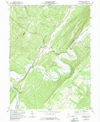
Editions of this 1973 Springfield Map
2 editions found
Other maps of this area

1891 · Romney
USGS Topo · 1:125,000

1898 · Frostburg
USGS Topo · 1:62,500

1899 · Flintstone
USGS Topo · 1:62,500

1900 · Flintstone
USGS Topo · 1:62,500

1901 · Frostburg
USGS Topo · 1:62,500

1908 · Frostburg
USGS Topo · 1:62,500

1920 · Keyser
USGS Topo · 1:62,500

1921 · Keyser
USGS Topo · 1:48,000

1921 · Hanging Rock
USGS Topo · 1:48,000

1922 · Keyser
USGS Topo · 1:62,500