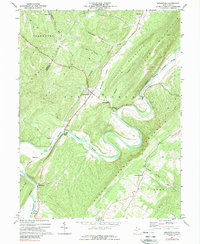
1973 Map of Springfield
USGS Topo · Published 1989About this map
Springfield serves as the focal point of this Hampshire County landscape, situated where the Baltimore and Ohio railroad corridor cuts across the Springfield Valley. The terrain is defined by a series of parallel ridges including Frankfort Ridge and Buck Ridge, which guide the dramatic meandering path of the South Branch Potomac River. Along the riverbanks, small settlements and named locations such as Blues Beach, Grace, and Ritters highlight the local reliance on the water for transport and recreation.
Find a feature on this map
37 named features on this map. Tap any name to fly to it.
Don’t see what you’re looking for? This feature index may not catch every label — zoom into the map to look around manually.
Map Details
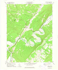
Editions of this 1973 Springfield Map
2 editions found
Other maps of this area

1891 · Romney
USGS Topo · 1:125,000

1898 · Frostburg
USGS Topo · 1:62,500

1899 · Flintstone
USGS Topo · 1:62,500

1900 · Flintstone
USGS Topo · 1:62,500

1901 · Frostburg
USGS Topo · 1:62,500

1908 · Frostburg
USGS Topo · 1:62,500

1920 · Keyser
USGS Topo · 1:62,500

1921 · Keyser
USGS Topo · 1:48,000

1921 · Hanging Rock
USGS Topo · 1:48,000

1922 · Keyser
USGS Topo · 1:62,500