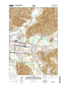
2014 Map of Springfield
USGS Topo · Published 2014About this map
The McKenzie River and Middle Fork Willamette River converge near the heart of this Lane County landscape, framing the urban expansion of Springfield and its eastern neighborhood, Thurston. This 2014 survey captures a moment when the industrial and suburban fabric of the valley floor meets the steep ascent of the Coburg Hills and Coburg Ridge. Genealogists will find several burial grounds noted, including Springfield Memorial Cem and the smaller Stafford Cem and Weyerhaeuser Cem tucked into the rising terrain.
Find a feature on this map
147 named features on this map. Tap any name to fly to it.
Don’t see what you’re looking for? This feature index may not catch every label — zoom into the map to look around manually.
Map Details
Editions of this 2014 Springfield Map
This is the sole edition of this map. No revisions or reprints were ever made.
Other maps of this area

1910 · Eugene
USGS Topo · 1:62,500

1921 · Cottage Grove
USGS Topo · 1:62,500

1935 · Lowell
USGS Topo · 1:96,000

1940 · Eugene
USGS Topo · 1:62,500

1942 · Lowell
USGS Topo · 1:125,000

1946 · Eugene
USGS Topo · 1:62,500

1949 · Eugene
USGS Topo · 1:62,500

1950 · Marcola
USGS Topo · 1:62,500

1952 · Marcola
USGS Topo · 1:62,500

1953 · Salem
USGS Topo · 1:250,000