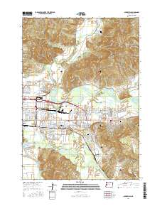
2017 Map of Springfield
USGS Topo · Published 2017About this map
Springfield sits at the confluence of the McKenzie River and the Middle Fork Willamette River, defining the urban heart of this Lane County landscape. The 2017 survey details the city's eastward expansion toward the community of Thurston, contrasted by the steep, forested elevations of Coburg Ridge and the Mohawk Valley to the north. This modern topography serves as a detailed record of local genealogy and land use, documenting several burial grounds including Stafford Cem, Mount Vernon Cem, and the Jasper-Wallace Cem to the south.
Find a feature on this map
80 named features on this map. Tap any name to fly to it.
Don’t see what you’re looking for? This feature index may not catch every label — zoom into the map to look around manually.
Map Details
Editions of this 2017 Springfield Map
This is the sole edition of this map. No revisions or reprints were ever made.
Other maps of this area

1910 · Eugene
USGS Topo · 1:62,500

1921 · Cottage Grove
USGS Topo · 1:62,500

1935 · Lowell
USGS Topo · 1:96,000

1940 · Eugene
USGS Topo · 1:62,500

1942 · Lowell
USGS Topo · 1:125,000

1946 · Eugene
USGS Topo · 1:62,500

1949 · Eugene
USGS Topo · 1:62,500

1950 · Marcola
USGS Topo · 1:62,500

1952 · Marcola
USGS Topo · 1:62,500

1953 · Salem
USGS Topo · 1:250,000