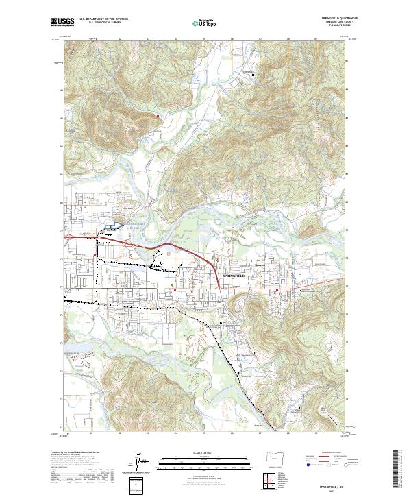
2023 Map of Springfield
USGS Topo · Published 2023About this map
The confluence of the McKenzie River and several smaller tributaries defines the landscape around Springfield in Lane County. This area shows a complex network of water features, from Irving Slough to the Middle Fork Willamette River and Coast Fork Willamette River, which meet south of the city center near Mt Risgah. The map reveals a suburban and rural layout that blends residential expansion in Thurston with older agricultural and industrial footprints. Genealogists will find significant detail in the numerous burial grounds scattered throughout the valley, including the Vernon Pioneer Cem, Stafford Cem, and the Wallace Pioneer Cem located near the southern boundary. To the southeast, the Jasper Ridge Airstrip and the settlement of Jasper mark the transition toward the foothills, while landmarks like Vitus Butte provide distinct topographic reference points in an area shaped by its proximity to the Willamette's primary forks.
Find a feature on this map
74 named features on this map. Tap any name to fly to it.
Don’t see what you’re looking for? This feature index may not catch every label — zoom into the map to look around manually.
Map Details
Editions of this 2023 Springfield Map
This is the sole edition of this map. No revisions or reprints were ever made.
Other maps of this area

1910 · Eugene
USGS Topo · 1:62,500

1921 · Cottage Grove
USGS Topo · 1:62,500

1935 · Lowell
USGS Topo · 1:96,000

1940 · Eugene
USGS Topo · 1:62,500

1942 · Lowell
USGS Topo · 1:125,000

1946 · Eugene
USGS Topo · 1:62,500

1949 · Eugene
USGS Topo · 1:62,500

1950 · Marcola
USGS Topo · 1:62,500

1952 · Marcola
USGS Topo · 1:62,500

1953 · Salem
USGS Topo · 1:250,000