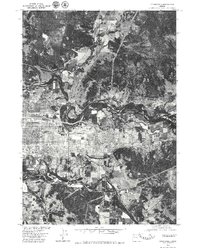
1976 Map of Springfield
USGS Topo · Published 1979About this map
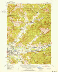
Springfield sits at a major hydrological crossroads in the mid-1970s, defined by the convergence of several significant waterways. This orthophotoquad captures the urban development and industrial footprint of the city during a period of Pacific Northwest timber and agricultural growth. The Mc Kenzie River winds across the northern half of the landscape, meeting the Mohawk River as it descends from the northeast. To the south, the Coast Fork Willamette River creates a complex network of oxbows and channels that border the southern edge of the settlement. The aerial imagery highlights the contrast between the dense residential and industrial grid of the city center and the agricultural fields and forested ridges that surround this river valley hub.
Find a feature on this map
4 named features on this map. Tap any name to fly to it.
Don’t see what you’re looking for? This feature index may not catch every label — zoom into the map to look around manually.
Map Details
Editions of this 1976 Springfield Map
This is the sole edition of this map. No revisions or reprints were ever made.
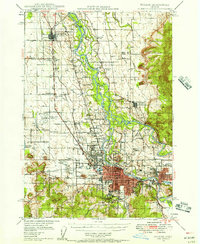
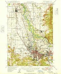
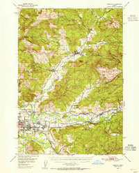
Other maps of this area

1910 · Eugene
USGS Topo · 1:62,500

1921 · Cottage Grove
USGS Topo · 1:62,500

1935 · Lowell
USGS Topo · 1:96,000

1940 · Eugene
USGS Topo · 1:62,500

1942 · Lowell
USGS Topo · 1:125,000
1946 · Eugene
USGS Topo · 1:62,500
1949 · Eugene
USGS Topo · 1:62,500
1950 · Marcola
USGS Topo · 1:62,500
1952 · Marcola
USGS Topo · 1:62,500

1953 · Salem
USGS Topo · 1:250,000