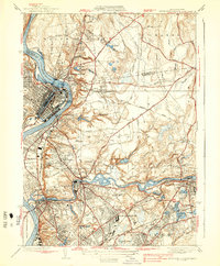
1938 Map of Springfield North
USGS Topo · Published 1938About this map
Industrial development and municipal expansion define the landscape of the Connecticut River valley in the late 1930s. The dense urban grid of Holyoke stands in sharp contrast to the surrounding residential and industrial clusters like South Hadley Falls and Indian Orchard. The Chicopee River serves as a central artery for the region, winding past institutional landmarks such as the Chicopee Tuberculosis Hospital and the Fiberloid Co factory complex.
Find a feature on this map
80 named features on this map. Tap any name to fly to it.
Don’t see what you’re looking for? This feature index may not catch every label — zoom into the map to look around manually.
Map Details
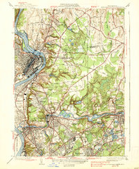
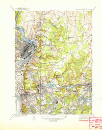
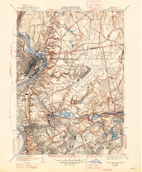
Editions of this 1938 Springfield North Map
4 editions found
Other maps of this area

1885 · Northampton
USGS Topo · 1:62,500

1886 · Springfield
USGS Topo · 1:62,500

1886 · Northampton
USGS Topo · 1:62,500

1887 · Palmer
USGS Topo · 1:62,500

1887 · Belchertown
USGS Topo · 1:62,500

1889 · Springfield
USGS Topo · 1:62,500

1889 · Palmer
USGS Topo · 1:62,500

1890 · Belchertown
USGS Topo · 1:62,500

1891 · Northampton
USGS Topo · 1:62,500

1893 · Northampton
USGS Topo · 1:62,500