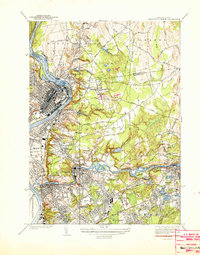
1938 Map of Springfield North
USGS Topo · Published 1938About this map
The industrial and municipal character of late 1930s Massachusetts is on display as the Connecticut River and Chicopee River converge. This survey shows the dense urban footprint of Holyoke and Chicopee, detailing the transportation corridors of the Boston and Maine RR and Boston and Albany RR that powered the region's economy. Beyond the riverfront mills, the map reveals the era's social infrastructure, including the Chicopee Tuberculosis Hospital and the Chicopee Infirmary, alongside several burial grounds like St Stanislaus Cem and Calvary Cem.
Find a feature on this map
72 named features on this map. Tap any name to fly to it.
Don’t see what you’re looking for? This feature index may not catch every label — zoom into the map to look around manually.
Map Details
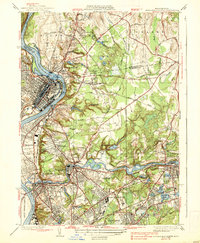
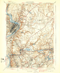
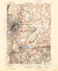
Editions of this 1938 Springfield North Map
4 editions found
Other maps of this area

1885 · Northampton
USGS Topo · 1:62,500

1886 · Springfield
USGS Topo · 1:62,500

1886 · Northampton
USGS Topo · 1:62,500

1887 · Palmer
USGS Topo · 1:62,500

1887 · Belchertown
USGS Topo · 1:62,500

1889 · Springfield
USGS Topo · 1:62,500

1889 · Palmer
USGS Topo · 1:62,500

1890 · Belchertown
USGS Topo · 1:62,500

1891 · Northampton
USGS Topo · 1:62,500

1893 · Northampton
USGS Topo · 1:62,500