2010 Map of Springfield NW
USGS Topo · Published 2010About this map
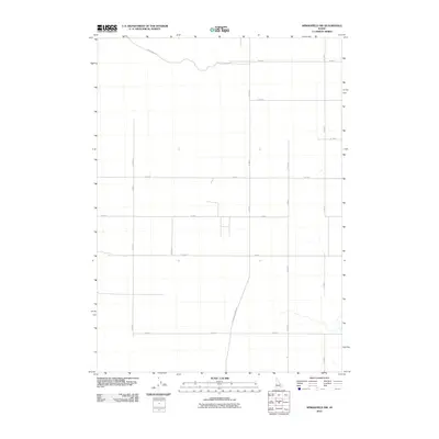
Springfield Taber Rd cuts diagonally through this section of Bingham County, contrasting with the rigid section-line grid that organizes the surrounding high-desert agricultural landscape. Recorded in the early 21st century, the map reveals a highly structured environment defined by numbered roads like W 300 N and S 2200 W, which likely facilitate the movement of machinery and crops in this rural region. The presence of Well No 2 Rd in the northwest suggests the vital importance of groundwater infrastructure for the area's development. Small clusters of structures are scattered along Hoff Rd and W 100 S, providing a footprint of modern rural settlement patterns. The sparse hydrography and uniform road spacing indicate a landscape shaped almost entirely by contemporary irrigation and land management practices.
Find a feature on this map
18 named features on this map. Tap any name to fly to it.
Don’t see what you’re looking for? This feature index may not catch every label — zoom into the map to look around manually.
Map Details
Editions of this 2010 Springfield NW Map
This is the sole edition of this map. No revisions or reprints were ever made.
Other maps of this area

1955 · Springfield NW
USGS Topo · 1:24,000

1955 · Rockford
USGS Topo · 1:24,000

1955 · Pingree
USGS Topo · 1:24,000

1955 · Springfield
USGS Topo · 1:24,000

1955 · Idaho Falls
USGS Topo · 1:250,000

1958 · Idaho Falls
USGS Topo · 1:250,000

1973 · Olsen
USGS Topo · 1:24,000

1973 · Taber
USGS Topo · 1:24,000

1973 · Lava Lake Reservoir
USGS Topo · 1:24,000

1973 · Coffee Point NE
USGS Topo · 1:24,000