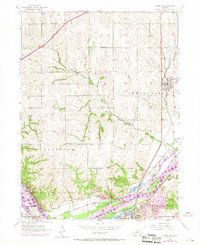
1956 Map of Springfield
USGS Topo · Published 1970About this map
Springfield serves as the focal point of this mid-century survey of the Sarpy and Cass County border, where the land slopes toward the wide valley of the Platte River. The map documents a predominantly agrarian landscape punctuated by a network of rural schoolhouses, including Sanborn Sch, Pflug Sch, and Buffalo Sch, which once anchored these local farming communities. Along the southern edge, the industrial and recreational character of the riverfront is evident near Louisville, where several Quarries and the Louisville Recreation Grounds line the banks.
Find a feature on this map
28 named features on this map. Tap any name to fly to it.
Don’t see what you’re looking for? This feature index may not catch every label — zoom into the map to look around manually.
Map Details
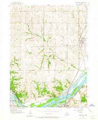
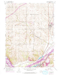
Editions of this 1956 Springfield Map
4 editions found
Other maps of this area

1893 · Fremont
USGS Topo · 1:125,000

1896 · Fremont
USGS Topo · 1:125,000

1903 · Weeping Water
USGS Topo · 1:125,000

1929 · Weeping Water
USGS Topo · 1:125,000

1955 · Fremont
USGS Topo · 1:250,000

1955 · Lincoln
USGS Topo · 1:250,000

1956 · Gretna
USGS Topo · 1:24,000

1956 · Cedar Creek
USGS Topo · 1:24,000

1956 · Ralston
USGS Topo · 1:24,000

1956 · Springfield
USGS Topo · 1:24,000