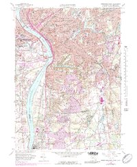
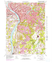
1958 Map of Springfield South
USGS Topo · Published 1989About this map
The Connecticut River serves as the dominant spine of this mid-century survey, dividing the industrial and residential centers of Springfield and West Springfield. As urban development expanded during the late 1950s and into the 1970s, many institutional landmarks anchored these communities, including Springfield College, Shriners Hospital, and the Exposition Grounds. The rail network, featuring the Boston and Maine and Penn Central lines, illustrates the era's transition from heavy rail dependence to highway growth. Southward, the landscape shifts toward the suburban and agricultural reaches of Longmeadow and Agawam, reaching the state line at Enfield, Connecticut. Genealogists and local historians can trace numerous burial grounds and civic sites, from Oak Grove Cemetery to the Osborn Prison Farm, capturing a detailed portrait of the Pioneer Valley before further modern infill.
Find a feature on this map
108 named features on this map. Tap any name to fly to it.
Don’t see what you’re looking for? This feature index may not catch every label — zoom into the map to look around manually.
Map Details
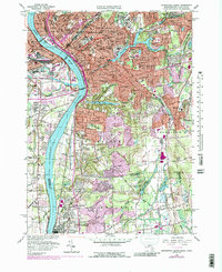
Editions of this 1958 Springfield South Map
6 editions found
Other maps of this area

1886 · Springfield
USGS Topo · 1:62,500

1887 · Palmer
USGS Topo · 1:62,500

1889 · Springfield
USGS Topo · 1:62,500

1889 · Palmer
USGS Topo · 1:62,500

1892 · Hartford
USGS Topo · 1:62,500

1892 · Tolland
USGS Topo · 1:62,500

1893 · Springfield
USGS Topo · 1:62,500

1893 · Palmer
USGS Topo · 1:62,500

1895 · Springfield
USGS Topo · 1:62,500

1896 · Holyoke
USGS Topo · 1:125,000