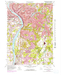
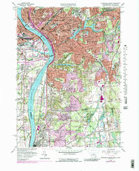
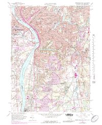
1958 Map of Springfield South
USGS Topo · Published 1979About this map
The Connecticut River serves as the central artery for this late 1950s survey of the borderlands between Massachusetts and Connecticut. The dense urban grid of Springfield transitions southward into the residential expanses of Longmeadow and eventually the agricultural and institutional lands of Enfield. Notable industrial and civic footprints include the Armory and the sprawling Exposition Grounds in West Springfield, while the medical landscape is defined by institutions like Mercy Hospital and Shriners Hospital.
Find a feature on this map
83 named features on this map. Tap any name to fly to it.
Don’t see what you’re looking for? This feature index may not catch every label — zoom into the map to look around manually.
Map Details
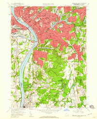
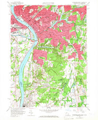
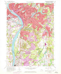
Editions of this 1958 Springfield South Map
6 editions found
Other maps of this area

1886 · Springfield
USGS Topo · 1:62,500

1887 · Palmer
USGS Topo · 1:62,500

1889 · Springfield
USGS Topo · 1:62,500

1889 · Palmer
USGS Topo · 1:62,500

1892 · Hartford
USGS Topo · 1:62,500

1892 · Tolland
USGS Topo · 1:62,500

1893 · Springfield
USGS Topo · 1:62,500

1893 · Palmer
USGS Topo · 1:62,500

1895 · Springfield
USGS Topo · 1:62,500

1896 · Holyoke
USGS Topo · 1:125,000