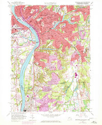
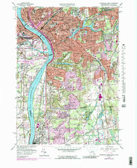
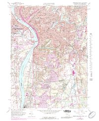
1958 Map of Springfield South
USGS Topo · Published 1972About this map
The Connecticut River serves as the central artery for this mid-century portrait of southern Massachusetts and northern Connecticut, separating Springfield and West Springfield. The industrial and institutional character of the era is evident in the dense concentration of landmarks, from the Union Sta and massive Armory complex to the campuses of American International College and Springfield College. The map captures the suburban expansion southward into Longmeadow and East Longmeadow, where residential streets begin to yield to open spaces like the Franconia Golf Course.
Find a feature on this map
127 named features on this map. Tap any name to fly to it.
Don’t see what you’re looking for? This feature index may not catch every label — zoom into the map to look around manually.
Map Details
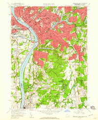
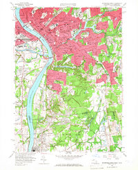
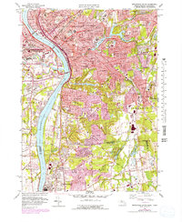
Editions of this 1958 Springfield South Map
6 editions found
Other maps of this area

1886 · Springfield
USGS Topo · 1:62,500

1887 · Palmer
USGS Topo · 1:62,500

1889 · Springfield
USGS Topo · 1:62,500

1889 · Palmer
USGS Topo · 1:62,500

1892 · Hartford
USGS Topo · 1:62,500

1892 · Tolland
USGS Topo · 1:62,500

1893 · Springfield
USGS Topo · 1:62,500

1893 · Palmer
USGS Topo · 1:62,500

1895 · Springfield
USGS Topo · 1:62,500

1896 · Holyoke
USGS Topo · 1:125,000