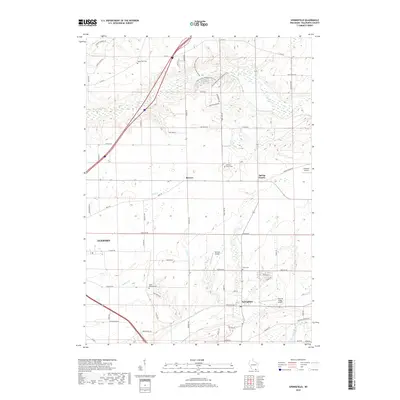
2018 Map of Springfield
USGS Topo · Published 2018About this map
Springfield and the neighboring hamlets of Bowers and Spring Prairie anchor this agricultural landscape in eastern Walworth County. The terrain is defined by the winding course of Sugar Cr and Ore Cr, with the White River crossing the southeastern corner. This modern survey reflects the area's transition into a recreational and light aviation hub, evidenced by the Alpine Valley Mountain Bike Trail in the north and several private airfields, including Fletcher Airport, Terhark Airport, and the evocatively named Plows & Props Airport. Genealogists will find several local burial grounds documented across the township, such as North Geneva Cem near Jackson Cr and the centrally located Hickory Grove Cem. The western edge of the map reaches the outskirts of Elkhorn, showing the intersection of rural county roads like Co HWY NN with the expanding local infrastructure.
Find a feature on this map
62 named features on this map. Tap any name to fly to it.
Don’t see what you’re looking for? This feature index may not catch every label — zoom into the map to look around manually.
Map Details
Editions of this 2018 Springfield Map
This is the sole edition of this map. No revisions or reprints were ever made.
Other maps of this area

1892 · Whitewater
USGS Topo · 1:62,500

1892 · Eagle
USGS Topo · 1:62,500

1893 · Delavan
USGS Topo · 1:62,500

1893 · Whitewater
USGS Topo · 1:62,500

1893 · Geneva
USGS Topo · 1:62,500

1894 · Eagle
USGS Topo · 1:62,500

1897 · Eagle
USGS Topo · 1:62,500

1903 · Whitewater
USGS Topo · 1:62,500

1904 · Lake Geneva
USGS Topo · 1:62,500

1906 · Eagle
USGS Topo · 1:62,500