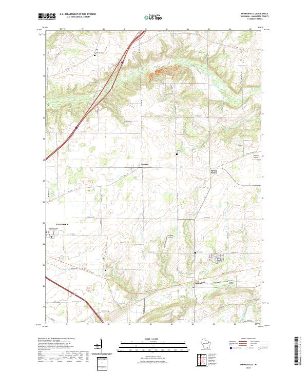
2022 Map of Springfield
USGS Topo · Published 2022About this map
Springfield and the eastern outskirts of Elkhorn anchor this Walworth County landscape, where the northern glacial hills give way to the agricultural plains of Spring Prairie. The topography is defined by the winding course of Sugar Cr and the White River, which drain a region transition from rural homesteads to active recreation. Near the northern boundary, the Alpine Valley Mountain Bike Trl traverses the higher elevations, while small settlements like Bowers remain as historic focal points along the country road network.
Find a feature on this map
67 named features on this map. Tap any name to fly to it.
Don’t see what you’re looking for? This feature index may not catch every label — zoom into the map to look around manually.
Map Details
Editions of this 2022 Springfield Map
This is the sole edition of this map. No revisions or reprints were ever made.
Other maps of this area

1892 · Whitewater
USGS Topo · 1:62,500

1892 · Eagle
USGS Topo · 1:62,500

1893 · Delavan
USGS Topo · 1:62,500

1893 · Whitewater
USGS Topo · 1:62,500

1893 · Geneva
USGS Topo · 1:62,500

1894 · Eagle
USGS Topo · 1:62,500

1897 · Eagle
USGS Topo · 1:62,500

1903 · Whitewater
USGS Topo · 1:62,500

1904 · Lake Geneva
USGS Topo · 1:62,500

1906 · Eagle
USGS Topo · 1:62,500