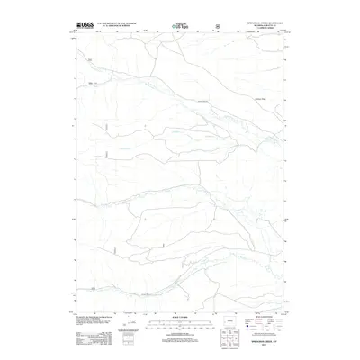
2012 Map of Springman Creek
USGS Topo · Published 2012About this map
Middle Piney Cr and S Piney Cr define the hydrological character of this high-elevation landscape in Sublette County. The terrain is structured by prominent drainage systems, including Fish Cr and Springman Cr, which flow through a territory primarily utilized for forest management and seasonal access. Human presence is marked by a network of Forest Service infrastructure, notably Fs 46, along with major access corridors such as Middle Piney Rd and S Piney Rd.
Find a feature on this map
15 named features on this map. Tap any name to fly to it.
Don’t see what you’re looking for? This feature index may not catch every label — zoom into the map to look around manually.
Map Details
Editions of this 2012 Springman Creek Map
This is the sole edition of this map. No revisions or reprints were ever made.
Other maps of this area

1921 · Afton
USGS Topo · 1:125,000

1936 · Cokeville
USGS Topo · 1:96,000

1939 · Big Piney
USGS Topo · 1:125,000

1942 · Cokeville
USGS Topo · 1:125,000

1942 · Big Piney
USGS Topo · 1:125,000

1955 · Preston
USGS Topo · 1:250,000

1958 · Preston
USGS Topo · 1:250,000

1962 · Preston
USGS Topo · 1:250,000

1967 · Mount Thompson
USGS Topo · 1:24,000

1969 · Cretaceous Mountain
USGS Topo · 1:24,000