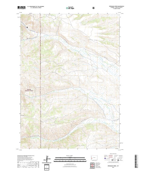
2021 Map of Springman Creek
USGS Topo · Published 2021About this map
Bridger National Forest encompasses this high-altitude landscape in Sublette County, defined by a complex network of water management features and historical migration paths. The southern portion of the map is crossed by the Lander Cutoff Nat Historic Trl Trl, a vital western emigrant route that bypasses higher peaks. The drainage patterns are heavily modified by a system of irrigation ditches, including the Finnegan Ditch, Barbara Budd Ditch, and Miami Ditch, which redirect water from alpine sources like Middle Piney Cr and Fish Cr to lower basins. Significant elevations such as North Mtn and Star Hill overlook the Meridional Valley, illustrating the rugged topography of the Wyoming Range. The distribution of these ditches alongside natural streams like Springman Cr reflects the long-standing ranching and agricultural requirements of this high-country environment.
Find a feature on this map
30 named features on this map. Tap any name to fly to it.
Don’t see what you’re looking for? This feature index may not catch every label — zoom into the map to look around manually.
Map Details
Editions of this 2021 Springman Creek Map
This is the sole edition of this map. No revisions or reprints were ever made.
Other maps of this area

1921 · Afton
USGS Topo · 1:125,000

1936 · Cokeville
USGS Topo · 1:96,000

1939 · Big Piney
USGS Topo · 1:125,000

1942 · Cokeville
USGS Topo · 1:125,000

1942 · Big Piney
USGS Topo · 1:125,000

1955 · Preston
USGS Topo · 1:250,000

1958 · Preston
USGS Topo · 1:250,000

1962 · Preston
USGS Topo · 1:250,000

1967 · Mount Thompson
USGS Topo · 1:24,000

1969 · Cretaceous Mountain
USGS Topo · 1:24,000