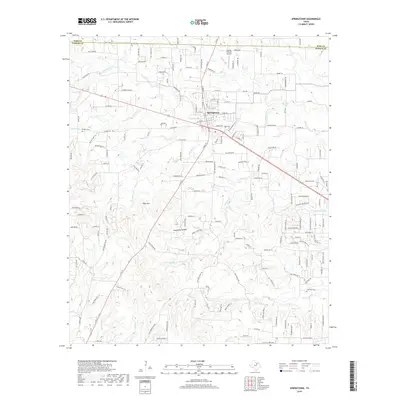
2019 Map of Springtown
USGS Topo · Published 2019About this map
Springtown anchors this portion of Northeast Parker County, situated at the intersection of local routes near the boundary with Wise County. The landscape is defined by an intricate network of waterways draining toward the southeast, including Walnut Cr, Goshen Cr, and Woody Cr. Local history is preserved at the Goshen Cem and Bud Clark Cem, while the area's folklore and topographical character are captured in distinctive place names such as Tater Hill and Hangmans Hollow. This survey reflects a period of rural residential expansion, with numerous local roads like Veal Station Rd and Old Springtown Rd connecting outlying homesteads to the central town. The abundance of small branches, such as Lick Br and Dry Br, suggests a highly dissected terrain where early settlement patterns were dictated by the available water sources and natural hollows.
Find a feature on this map
117 named features on this map. Tap any name to fly to it.
Don’t see what you’re looking for? This feature index may not catch every label — zoom into the map to look around manually.
Map Details
Editions of this 2019 Springtown Map
This is the sole edition of this map. No revisions or reprints were ever made.
Other maps of this area

1891 · Weatherford
USGS Topo · 1:125,000

1893 · Weatherford
USGS Topo · 1:125,000

1924 · Sunset 4-d
USGS Topo · 1:48,000

1930 · Boyd
USGS Topo · 1:62,500

1932 · Springtown
USGS Topo · 1:62,500

1954 · Dallas
USGS Topo · 1:250,000

1954 · Sherman
USGS Topo · 1:250,000

1955 · Azle
USGS Topo · 1:24,000
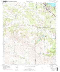
1955 · Springtown SE
USGS Topo · 1:24,000

1958 · Dallas
USGS Topo · 1:250,000