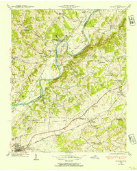
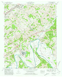
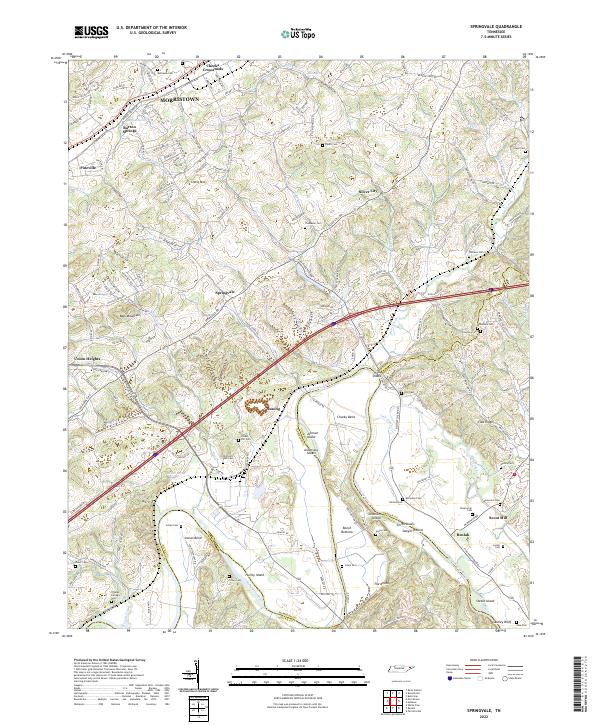
1961 Map of Springvale
USGS Topo · Published 1977About this map
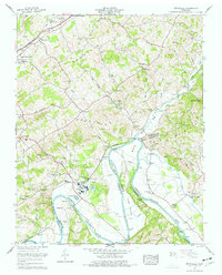
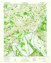
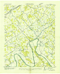
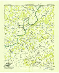
The Nolichucky River and the northern reaches of Douglas Lake dominate this landscape where Hamblen, Cocke, and Greene counties converge. In the early 1960s, the area around Lowland shows a transition toward industrialization with settling basins and reservoirs supporting regional growth, while the surrounding hills of Little Bays Mountain maintain a rural character.
Find a feature on this map
80 named features on this map. Tap any name to fly to it.
Don’t see what you’re looking for? This feature index may not catch every label — zoom into the map to look around manually.
Map Details
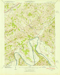
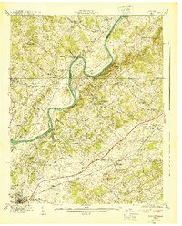
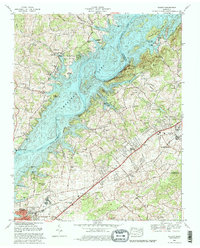
Editions of this 1961 Springvale Map
2 editions found
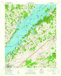
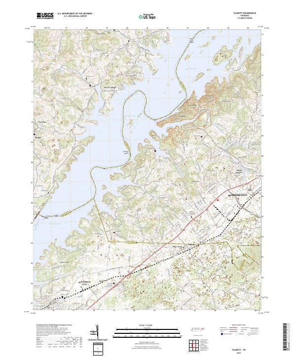
Historical Maps of Morristown Through Time
19 maps found
1935 Springvale
Hamblen County, TN
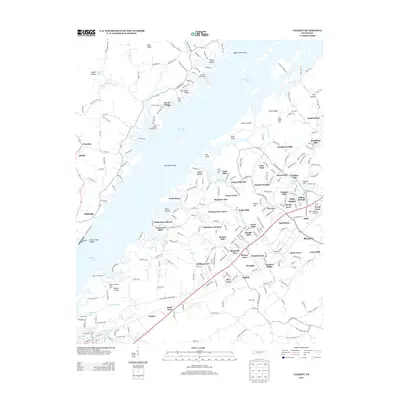
1935 Talbott
Hamblen County, TN
1938 Talbott
Hamblen County, TN
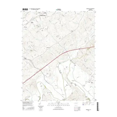
1939 Springvale
Hamblen County, TN
1940 Talbott
Hamblen County, TN
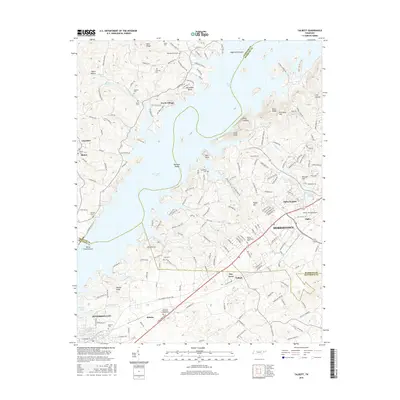
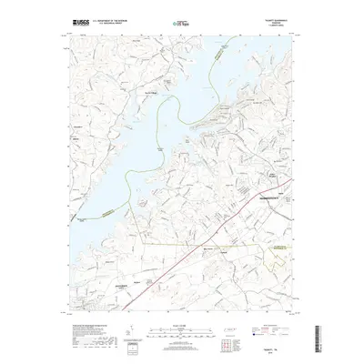
1960 Talbott
Hamblen County, TN
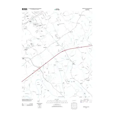
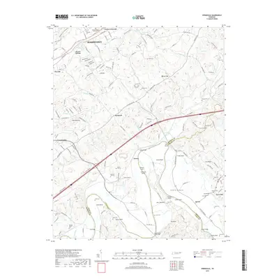
1961 Springvale
Hamblen County, TN
1980 Springvale
Hamblen County, TN
1980 Talbott
Hamblen County, TN
2010 Talbott
Hamblen County, TN
2011 Springvale
Hamblen County, TN
2013 Springvale
Hamblen County, TN
2013 Talbott
Hamblen County, TN
2016 Springvale
Hamblen County, TN
2016 Talbott
Hamblen County, TN
2019 Springvale
Hamblen County, TN
2019 Talbott
Hamblen County, TN
2022 Springvale
Hamblen County, TN
2022 Talbott
Hamblen County, TN