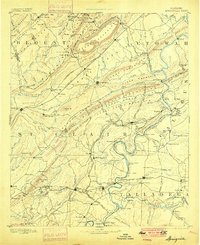
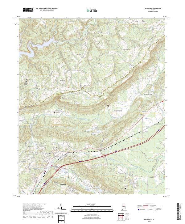
1892 Map of Springville
USGS Topo · Published 1900About this map
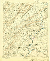
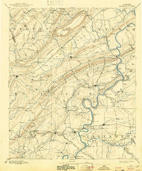
The Coosa River defines the southeastern landscape of this late nineteenth-century Alabama region, its winding course marked by essential river crossings like Stone Ferry, Hall Ferry, and Colman Ferry. This topography reveals a complex network of transportation and early industry, where the Georgia Pacific Railroad and Alabama Great Southern Railroad intersect the valleys between the Beaver Creek Mountains and Backbone Mountain.
Find a feature on this map
179 named features on this map. Tap any name to fly to it.
Don’t see what you’re looking for? This feature index may not catch every label — zoom into the map to look around manually.
Map Details
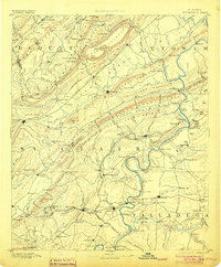
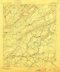
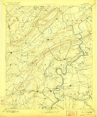
Editions of this 1892 Springville Map
7 editions found

Historical Maps of Gadsden Through Time
9 maps found

1889 Springville
St. Clair County, AL
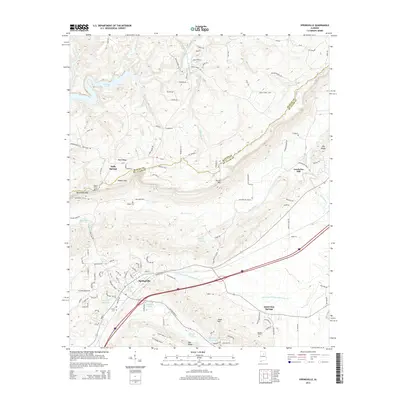
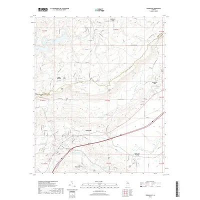
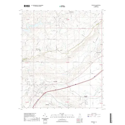
1892 Springville
St. Clair County, AL
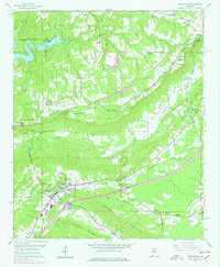
1958 Springville
St. Clair County, AL

1975 Springville
St. Clair County, AL
2011 Springville
St. Clair County, AL
2014 Springville
St. Clair County, AL
2018 Springville
St. Clair County, AL
2020 Springville
St. Clair County, AL
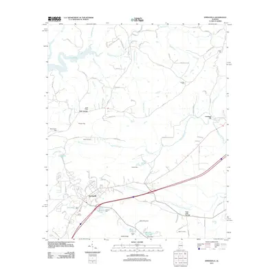
2024 Springville
St. Clair County, AL