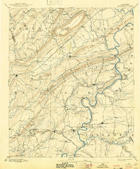
1892 Map of Springville
USGS Topo · Published 1943About this map
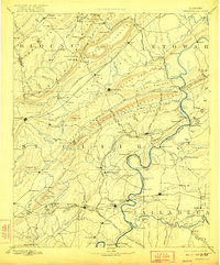
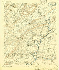
The Coosa River serves as the dominant geographic and economic artery of this late 19th-century landscape, its banks dotted with vital transit points like Francis Ferry and Colman Ferry. This survey, conducted by Louis Nell, reveals a region defined by the complex ridges of Backbone Mountain and Chandler Mountain, which funneled early settlement into valleys and gaps. The Ashville area stands as a central hub, surrounded by smaller communities such as St. Clair Springs and Caldwell.
Find a feature on this map
156 named features on this map. Tap any name to fly to it.
Don’t see what you’re looking for? This feature index may not catch every label — zoom into the map to look around manually.
Map Details
Editions of this 1892 Springville Map
7 editions found

Other maps of this area

1885 · Gadsden
USGS Topo · 1:125,000

1888 · Cullman
USGS Topo · 1:125,000

1888 · Gadsden
USGS Topo · 1:125,000

1889 · Springville
USGS Topo · 1:125,000

1889 · Birmingham
USGS Topo · 1:125,000

1890 · Bessemer
USGS Topo · 1:125,000

1890 · Talladega
USGS Topo · 1:125,000

1891 · Ashland
USGS Topo · 1:125,000

1892 · Cullman
USGS Topo · 1:125,000

1892 · Birmingham
USGS Topo · 1:125,000