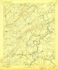
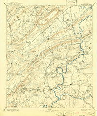
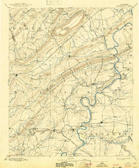
1892 Map of Springville
USGS Topo · Published 1922About this map
Ashville and the surrounding ridgelands of St. Clair County appear here in a state of transition during the late nineteenth century. The map highlights a landscape deeply influenced by the Appalachian geology, where settlements like Springville and Pell City are anchored by the expanding reach of the Alabama Great Southern Railroad and the Georgia Pacific Railroad. The Coosa River serves as a primary corridor, marked by numerous river crossings such as Francis Ferry and Woods Ferry, which were vital for regional commerce before the era of modern bridges.
Find a feature on this map
170 named features on this map. Tap any name to fly to it.
Don’t see what you’re looking for? This feature index may not catch every label — zoom into the map to look around manually.
Map Details
Editions of this 1892 Springville Map
7 editions found

Other maps of this area

1885 · Gadsden
USGS Topo · 1:125,000

1888 · Cullman
USGS Topo · 1:125,000

1888 · Gadsden
USGS Topo · 1:125,000

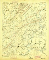
1889 · Springville
USGS Topo · 1:125,000

1889 · Birmingham
USGS Topo · 1:125,000

1890 · Bessemer
USGS Topo · 1:125,000

1890 · Talladega
USGS Topo · 1:125,000

1891 · Ashland
USGS Topo · 1:125,000

1892 · Cullman
USGS Topo · 1:125,000

1892 · Birmingham
USGS Topo · 1:125,000