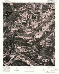
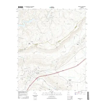
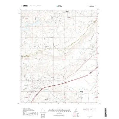
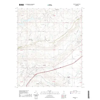
1975 Map of Springville
USGS Topo · Published 1977About this map
Saint Clair Springs serves as a primary point of reference in this mid-1970s orthophoto, which uses aerial imagery to document the landscape of St. Clair County. The terrain is defined by the rhythmic ridges and valleys of the Appalachian foothills, where dense woodlands are broken by linear clearings for utility corridors and highway construction. To the northwest, the fingers of Inland Lake reach into the winding hollows, illustrating how the topography dictated the development of water resources in the region. The map provides a raw visual record of land use during this era, showing the contrast between established hillside forests and the geometric patches of cleared land and residential clusters that follow the valley floors.
Find a feature on this map
2 named features on this map. Tap any name to fly to it.
Don’t see what you’re looking for? This feature index may not catch every label — zoom into the map to look around manually.
Map Details
Editions of this 1975 Springville Map
This is the sole edition of this map. No revisions or reprints were ever made.
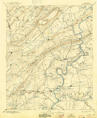
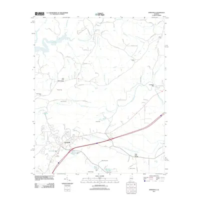
Historical Maps of Odenville Through Time
9 maps found

1889 Springville
St. Clair County, AL
1892 Springville
St. Clair County, AL
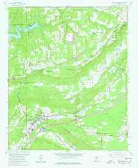
1958 Springville
St. Clair County, AL
1975 Springville
St. Clair County, AL
2011 Springville
St. Clair County, AL
2014 Springville
St. Clair County, AL
2018 Springville
St. Clair County, AL
2020 Springville
St. Clair County, AL
2024 Springville
St. Clair County, AL