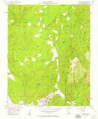
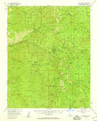
1957 Map of Springville
USGS Topo · Published 1958About this map
Springville serves as the primary hub of this 1950s survey, situated along the North Fork Tule River where the Sierra foothills meet the eastern edge of the San Joaquin Valley. The landscape transitions from the agricultural water infrastructure of the Pleasant Valley Ditch and numerous reservoirs toward the steep elevations of the Sequoia National Forest. Notable landmarks such as Hatchet Peak and Lumreau Mtn dominate the topography, while the inclusion of a Landing Strip and Yokohl Road reflects the mid-century infrastructure supporting local ranching and transit. Smaller settlements like Milo and local features including a Race Track and Soda Spring provide specific points of interest for those tracing the development of Tulare County. The intricate network of flumes and pipelines across the terrain underscores the critical role of water management in this region.
Find a feature on this map
39 named features on this map. Tap any name to fly to it.
Don’t see what you’re looking for? This feature index may not catch every label — zoom into the map to look around manually.
Map Details
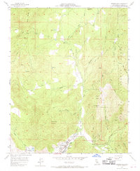
Editions of this 1957 Springville Map
2 editions found
Other maps of this area

1904 · Kaweah
USGS Topo · 1:125,000

1909 · Kaweah
USGS Topo · 1:125,000

1937 · Kaweah
USGS Topo · 1:125,000

1948 · Fresno
USGS Topo · 1:250,000

1955 · Fresno
USGS Topo · 1:250,000

1956 · Fresno
USGS Topo · 1:250,000
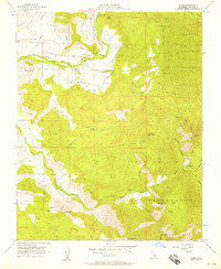
1956 · Globe
USGS Topo · 1:24,000
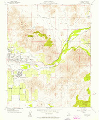
1956 · Success
USGS Topo · 1:24,000

1956 · Mineral King
USGS Topo · 1:62,500
1956 · Camp Nelson
USGS Topo · 1:62,500