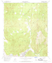
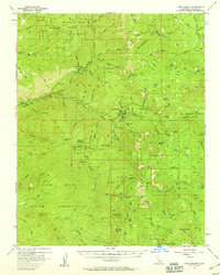
1957 Map of Springville
USGS Topo · Published 1970About this map
The settlement of Springville serves as the focal point for this mid-century survey of the California foothills, where the Tule River divides into its North Fork and Middle Fork. The community is mapped in detail, showing essential infrastructure such as a Hospital, Sewage Disposal, and a Powerhouse, alongside local recreational or functional features like a Race Track and a Landing Strip near the river banks. To the north, the small settlement of Milo sits along the road to Balch Park, surrounded by a complex system of water management tools including a Flume, Ditch, and Pipeline networks.
Find a feature on this map
43 named features on this map. Tap any name to fly to it.
Don’t see what you’re looking for? This feature index may not catch every label — zoom into the map to look around manually.
Map Details
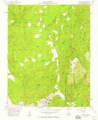
Editions of this 1957 Springville Map
2 editions found
Other maps of this area

1904 · Kaweah
USGS Topo · 1:125,000

1909 · Kaweah
USGS Topo · 1:125,000

1937 · Kaweah
USGS Topo · 1:125,000

1948 · Fresno
USGS Topo · 1:250,000

1955 · Fresno
USGS Topo · 1:250,000

1956 · Fresno
USGS Topo · 1:250,000
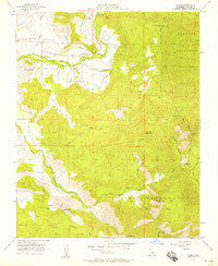
1956 · Globe
USGS Topo · 1:24,000
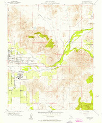
1956 · Success
USGS Topo · 1:24,000

1956 · Mineral King
USGS Topo · 1:62,500
1956 · Camp Nelson
USGS Topo · 1:62,500