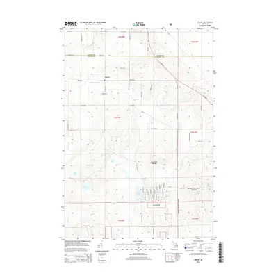
2014 Map of Spruce
USGS Topo · Published 2014About this map
Lost Lake Woods stands as a prominent residential development and recreational hub within Alcona County, its private road network contrasting with the surrounding wildlands. The settlement of Spruce sits at a crossroads further north, where the South Br Devils River flows through the township. This 2014 survey documents a landscape defined by its glacial hydrology, featuring numerous isolated basins such as Bear Lake, Deer Lake, and Badger Lake. A significant portion of the southeastern quadrangle is managed as part of the Huron National Forest, characterized by its lack of dense residential platting compared to the lake-centered communities. Genealogists and local historians will find the Caledonia Township Cem clearly marked near the center of the sheet, providing a primary point of reference for the township's early families. The drainage patterns of Holcomb Creek and Sucker Cr further illustrate the area's transition into the forested interior of Northeastern Michigan.
Find a feature on this map
69 named features on this map. Tap any name to fly to it.
Don’t see what you’re looking for? This feature index may not catch every label — zoom into the map to look around manually.
Map Details
Editions of this 2014 Spruce Map
This is the sole edition of this map. No revisions or reprints were ever made.
Other maps of this area
1954 · Tawas City
USGS Topo · 1:250,000
1958 · Tawas City
USGS Topo · 1:250,000
1959 · Glennie
USGS Topo · 1:62,500
1959 · Harrisville
USGS Topo · 1:62,500
1971 · Spruce
USGS Topo · 1:24,000
1971 · Black River
USGS Topo · 1:24,000
1971 · South Point
USGS Topo · 1:24,000
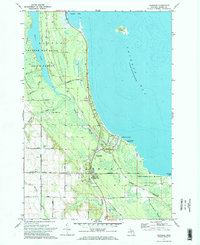
1971 · Ossineke
USGS Topo · 1:24,000
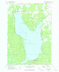
1972 · Hubbard Lake
USGS Topo · 1:24,000
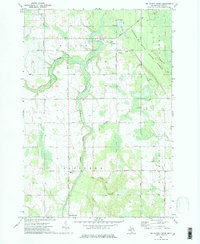
1972 · Big Ravine Creek
USGS Topo · 1:24,000