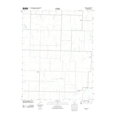
2011 Map of Spruce
USGS Topo · Published 2011About this map
Spruce and Ballard anchor this rural landscape in Bates County, Missouri, defined by a branching network of tributaries feeding the Deepwater Creek system. The terrain is crisscrossed by established section-line roads such as Hideway Rd, while the local history is preserved in several family and community burial grounds scattered throughout the township. Genealogists may find value in the specific locations of the Antioch Cemetery near Antioch Creek, as well as Elizabeth Chapel Cemetery, White Cemetery, and Radford Cemetery. The drainage patterns of Elk Fork, Fishing Branch, and Soap Creek dictate the rural layout, where an Old Rock Quarry near the northern boundary suggests a history of local stone extraction. The proximity of North Deepwater Creek and South Deepwater Creek in the southeastern quadrant highlights the area's place within the larger Osage River basin.
Find a feature on this map
15 named features on this map. Tap any name to fly to it.
Don’t see what you’re looking for? This feature index may not catch every label — zoom into the map to look around manually.
Map Details
Editions of this 2011 Spruce Map
This is the sole edition of this map. No revisions or reprints were ever made.
Other maps of this area

1887 · Butler
USGS Topo · 1:125,000

1894 · Butler
USGS Topo · 1:125,000

1947 · Lawrence
USGS Topo · 1:250,000

1950 · Lawrence
USGS Topo · 1:250,000

1953 · Johnstown
USGS Topo · 1:24,000
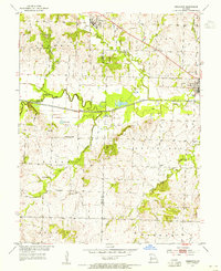
1953 · Creighton
USGS Topo · 1:24,000

1956 · Lawrence
USGS Topo · 1:250,000

1961 · Lawrence
USGS Topo · 1:250,000
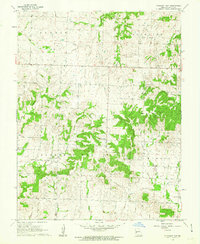
1961 · Pleasant Gap
USGS Topo · 1:24,000
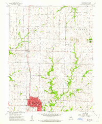
1961 · Butler
USGS Topo · 1:24,000