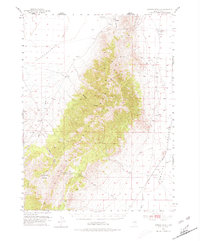
1953 Map of Spruce Mountain 4
USGS Topo · Published 1980About this map
The Spruce Mountains dominate this high-desert landscape in Elko County, serving as a massive topographical divide between the Independence Valley to the northwest and the Goshute Valley to the southeast. At the base of these peaks, the rail corridors define the region's connectivity during the early 1950s, with the Western Pacific railroad skirting the northern foothills and the Nevada Northern cutting through the eastern flats near Nelson.
Find a feature on this map
23 named features on this map. Tap any name to fly to it.
Don’t see what you’re looking for? This feature index may not catch every label — zoom into the map to look around manually.
Map Details
Editions of this 1953 Spruce Mountain 4 Map
4 editions found
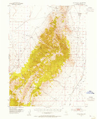
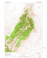
Other maps of this area

1953 · Spruce Mountain
USGS Topo · 1:62,500

1953 · Spruce Mountain 4
USGS Topo · 1:62,500

1955 · Elko
USGS Topo · 1:250,000

1958 · Elko
USGS Topo · 1:250,000

1962 · Elko
USGS Topo · 1:250,000

1965 · Elko
USGS Topo · 1:250,000

1968 · Independence Valley SW
USGS Topo · 1:24,000

1968 · Ventosa
USGS Topo · 1:24,000

1968 · Independence Valley SE
USGS Topo · 1:24,000

1971 · Shafter
USGS Topo · 1:24,000