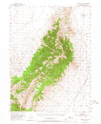
1953 Map of Spruce Mtn 4
USGS Topo · Published 1966About this map
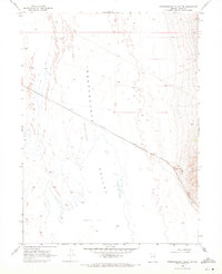
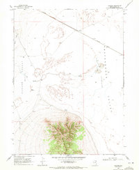
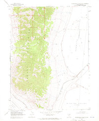
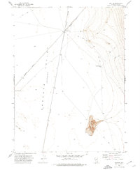
The Pequop Mountains dominate this high-desert landscape, serving as a massive topographical barrier between Independence Valley to the west and a broader desert Valley to the east. By the mid-20th century, the area functioned as a critical corridor for transcontinental and regional transport, evidenced by the convergence of the Southern Pacific, Western Pacific, and Nevada Northern railroads. These lines skirts the edges of the mountains, navigating the gradual slopes of Coyote Basin and the terrain near Flowery Lake.
Find a feature on this map
23 named features on this map. Tap any name to fly to it.
Don’t see what you’re looking for? This feature index may not catch every label — zoom into the map to look around manually.
Map Details
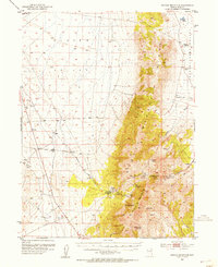
Editions of this 1953 Spruce Mtn 4 Map
4 editions found
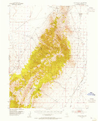
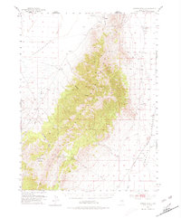
Other maps of this area
1953 · Spruce Mountain
USGS Topo · 1:62,500

1953 · Spruce Mountain 4
USGS Topo · 1:62,500

1955 · Elko
USGS Topo · 1:250,000

1958 · Elko
USGS Topo · 1:250,000

1962 · Elko
USGS Topo · 1:250,000

1965 · Elko
USGS Topo · 1:250,000
1968 · Independence Valley SW
USGS Topo · 1:24,000
1968 · Ventosa
USGS Topo · 1:24,000
1968 · Independence Valley SE
USGS Topo · 1:24,000
1971 · Shafter
USGS Topo · 1:24,000