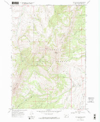
1968 Map of Spur Mountain
USGS Topo · Published 1984About this map
The Snowcrest Range dominates this late 1960s survey of Madison County, showing the high-altitude terrain within the Beaverhead National Forest. This interior mountain landscape is defined by the drainage systems of the West Fork Ruby River and the main Ruby River, which gather water from numerous creeks like Ledford Creek and Hole Creek. The map documents a wilderness environment where human passage is marked primarily by the Snowcrest Trail and Gilbert Trail. Notable peaks such as Spur Mountain, Sliderock Mountain, and Snowcrest Mtn anchor the topography, while the Centennial Divide runs through the southeastern corner. A small glacial feature, Yellow Bear Lake, sits high in the western ridges below Hogback Mountain, illustrating the remote character of this Montana high country.
Find a feature on this map
32 named features on this map. Tap any name to fly to it.
Don’t see what you’re looking for? This feature index may not catch every label — zoom into the map to look around manually.
Map Details
Editions of this 1968 Spur Mountain Map
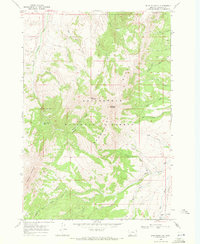
2 editions found
Other maps of this area

1888 · Three Forks
USGS Topo · 1:250,000

1893 · Dillon
USGS Topo · 1:250,000

1894 · Three Forks
USGS Topo · 1:250,000

1895 · Three Forks
USGS Topo · 1:250,000

1947 · Bozeman
USGS Topo · 1:250,000

1948 · Bozeman
USGS Topo · 1:250,000

1949 · Varney
USGS Topo · 1:62,500

1950 · Monument Ridge
USGS Topo · 1:62,500

1955 · Bozeman
USGS Topo · 1:250,000

1955 · Dubois
USGS Topo · 1:250,000