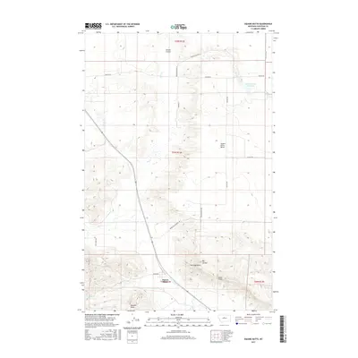
2017 Map of Square Butte
USGS Topo · Published 2017About this map
Square Butte rises prominently above the high plains of Chouteau County, serving as the central landmark for this sparsely populated ranching landscape. The topographical relief is dominated by striking formations like the Chalk Cliffs and the broad elevation of Square Butte Bench, which provide significant contrast to the drainage patterns of Flat Cr and Cowboy Cr. Agricultural infrastructure is reflected in local routes such as Panton Rd and Square Butte Bench Rd, which navigate the coulees and flats that define the region's geography. Smaller peaks, including Antelope Butte and Buckskin Butte, dot the southern portion of the sheet, while the Panton Coulee Reservoir indicates the critical importance of water management in this arid environment. The map details a landscape where the natural contours of the land, specifically the deep incisions of Big Coulee, dictate the placement of local connectors and homestead access.
Find a feature on this map
22 named features on this map. Tap any name to fly to it.
Don’t see what you’re looking for? This feature index may not catch every label — zoom into the map to look around manually.
Map Details
Editions of this 2017 Square Butte Map
This is the sole edition of this map. No revisions or reprints were ever made.
Other maps of this area
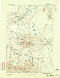
1890 · Fort Benton
USGS Topo · 1:250,000
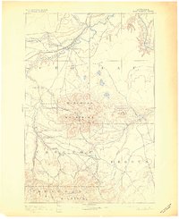
1892 · Fort Benton
USGS Topo · 1:250,000
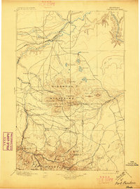
1897 · Fort Benton
USGS Topo · 1:250,000

1954 · Great Falls
USGS Topo · 1:250,000
1957 · Great Falls
USGS Topo · 1:250,000
1972 · Square Butte SE
USGS Topo · 1:24,000
1972 · Square Butte
USGS Topo · 1:24,000
1972 · Dammel Reservoir
USGS Topo · 1:24,000
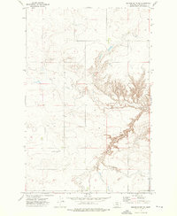
1972 · Square Butte NE
USGS Topo · 1:24,000
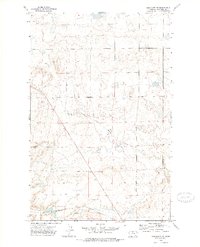
1972 · Geraldine NE
USGS Topo · 1:24,000