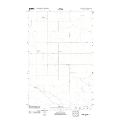
2011 Map of Square Butte SE
USGS Topo · Published 2011About this map
Square Butte Bench dominates this high-plains landscape in Chouteau County, where a network of gravel section roads defines the agricultural and ranching patterns of the early twenty-first century. The presence of Square Butte Bench Cemetery along McNaughton Rd suggests a longstanding community presence in this expansive prairie. Water management is a critical feature of the terrain, evidenced by the inclusion of Little Phantom Dam and Deuteronomy Dam, which serve the localized needs of the surrounding benchland. Aviation and local infrastructure are represented by the Owen Brothers Airport and Hawarden Hall in the northern portion of the survey. The road network, including Kynett Rd and Montana Rd, illustrates the grid-like organization typical of Montana's rural landscapes, connecting these isolated landmarks across the wide-open geography.
Find a feature on this map
16 named features on this map. Tap any name to fly to it.
Don’t see what you’re looking for? This feature index may not catch every label — zoom into the map to look around manually.
Map Details
Editions of this 2011 Square Butte SE Map
This is the sole edition of this map. No revisions or reprints were ever made.
Other maps of this area
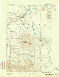
1890 · Fort Benton
USGS Topo · 1:250,000
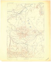
1892 · Fort Benton
USGS Topo · 1:250,000
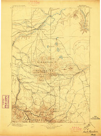
1897 · Fort Benton
USGS Topo · 1:250,000
1953 · Last Chance Bench
USGS Topo · 1:24,000

1954 · Great Falls
USGS Topo · 1:250,000

1954 · Lewistown
USGS Topo · 1:250,000
1957 · Great Falls
USGS Topo · 1:250,000

1959 · Lewistown
USGS Topo · 1:250,000
1972 · Square Butte SE
USGS Topo · 1:24,000
1972 · Square Butte
USGS Topo · 1:24,000